
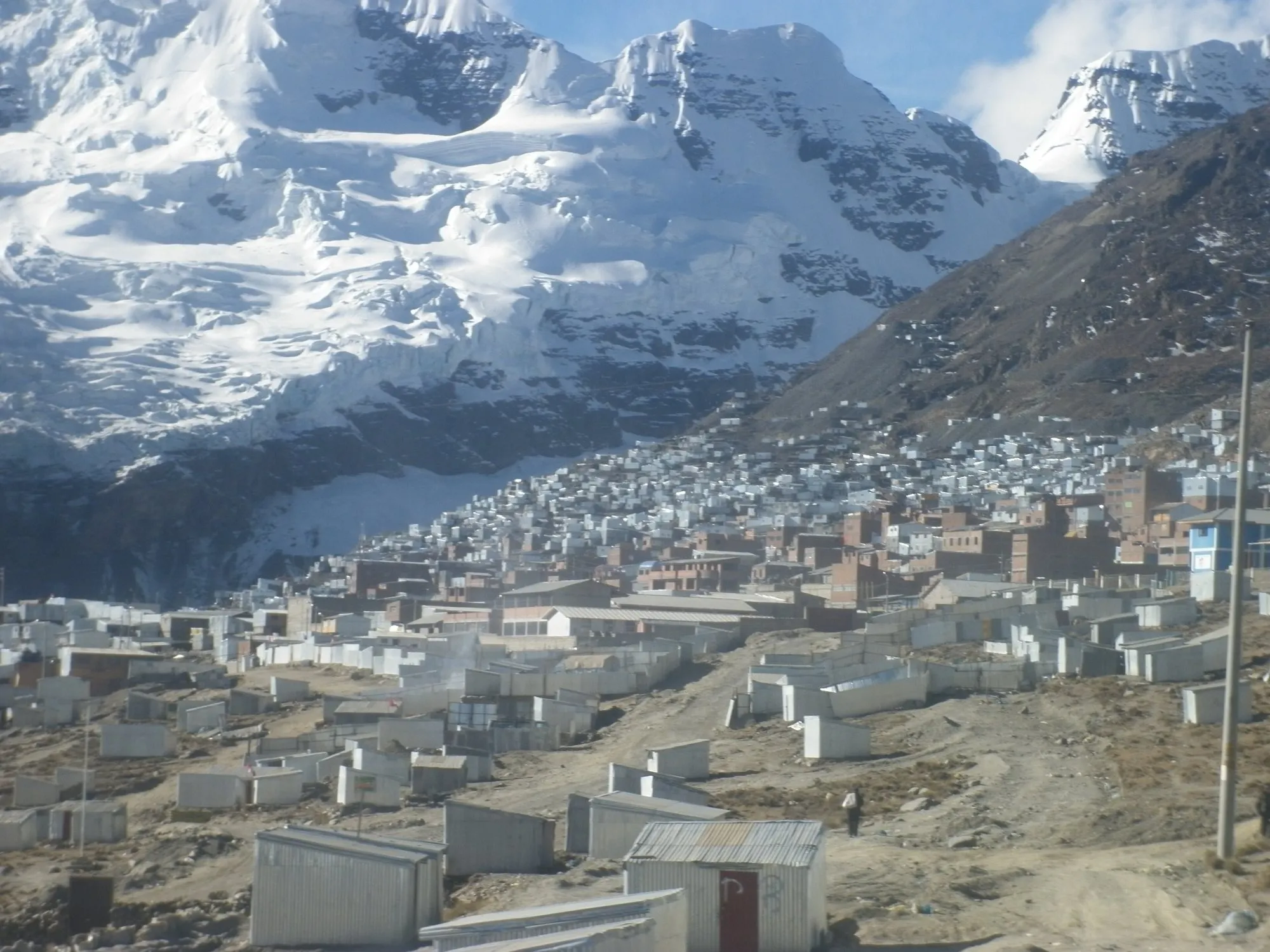
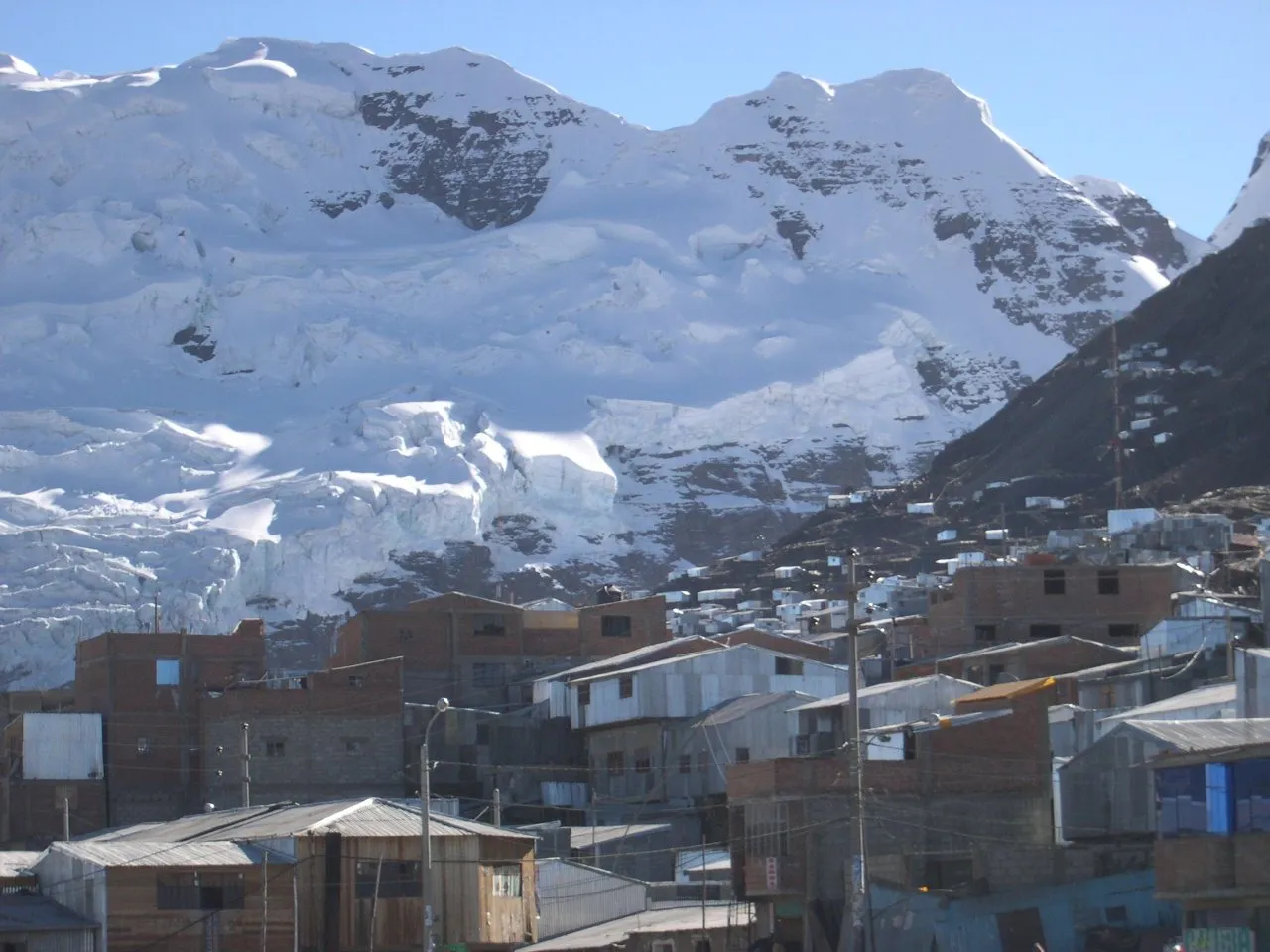
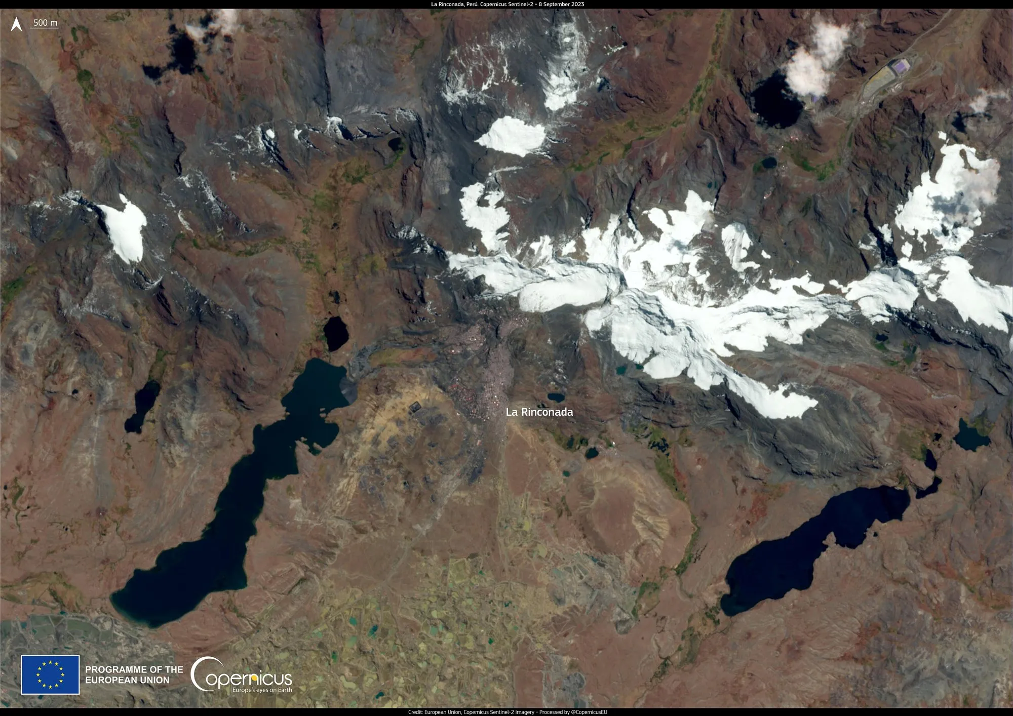
High in the Peruvian Andes, at around 5,000 m, a gold-mining town of corrugated-metal shacks clings to a valley under a glacier. La Rinconada is the highest large permanent settlement in the world. Estimates of its population run to about 30,000, though censuses count fewer.
It's an extraordinary place, and a hard one. There's no plumbing or sewage system, mercury from gold processing has polluted the water, and it's widely known in Peru as a lawless town. This guide explains what La Rinconada is, how people reach it, and what anyone considering a visit needs to know first.
The route at a glance
Tap a dot for details. Drag and zoom to explore.
What makes it unique
- The altitude. The town sprawls between about 4,900 and 5,100 m on the side of Mount Ananea. Nowhere else this high has a town of this size.
- The cold. The average temperature over a year is just 1.3 °C. Nights are below freezing all year, falling to about −12 °C in June.
- The gold. Almost everyone here is connected to artisanal gold mining, legal and illegal. Under the traditional cachorreo system, miners work about 30 days without pay, then get one day to keep whatever ore they can carry out. Whether it holds any gold is pure luck.
- The glacier. The town sits at the foot of the Auchita glacier, known as La Bella Durmiente, “the Sleeping Beauty”.
The hard truth
There’s no tourist industry here, and the town isn’t built for visitors. Before considering a visit, understand that:
- There’s no plumbing or sewage system, rubbish piles up, and mercury used in gold processing has contaminated drinking water.
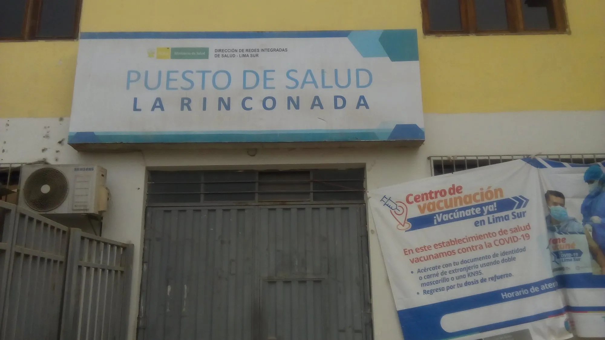
- Health care is minimal: a single small health post.
- Crime is a serious problem. Peruvians call it la ciudad sin ley, “the lawless city”. Investigations have found widespread human trafficking, with women deceived into coming to work in the town’s many bars.
- Altitude is dangerous. Researchers estimate that at least a quarter of residents suffer from chronic hypoxia. For a visitor, coming up from sea level, sleeping at 5,000 m without weeks of acclimatisation risks acute mountain sickness, high-altitude pulmonary oedema and cerebral oedema, all of which can kill.
If you still want to understand it
- Don’t go alone, and don’t go independently. Only consider it with an experienced, reputable local guide based in Juliaca or Puno, on a daytime visit.
- Acclimatise properly first: at least several days around Puno and Lake Titicaca (about 3,800 m) before going higher. Don’t sleep in La Rinconada.
- Respect the people who live there. These are workers in difficult, dangerous conditions, not a spectacle. Ask before any photograph, and accept a no.
- Stay out of the bars and nightlife entirely. Given what’s known about trafficking, any money spent there may fund exploitation.
For most travellers, the honest advice is: learn about La Rinconada, but don’t go. The Andes around Puno and Lake Titicaca offer high-altitude villages and landscapes that welcome visitors safely.
How people get there
The nearest airport is at Juliaca (3,825 m). From there it’s 164 km by road, about 3½ hours, via Putina and Ananea, climbing all the way. Shared minibuses reportedly carry miners up from Juliaca; a private vehicle with a driver who knows the town is the only sensible option for an outsider.
When
The dry season, roughly May to September, has clearer skies but the coldest nights. Summer (December to March) is rainy, with snow at this altitude.
Every leg
Measured with Google Maps on 12 October 2026.
| Leg | Distance | Driving | From start |
|---|---|---|---|
| Juliaca→Putina | 91 km | 1 h 45 | 91 km |
| Putina→Ananea | 59 km | 1 h 17 | 150 km |
| Ananea→La Rinconada | 14 km | 25 min | 164 km |
| Total | 164 km | 3 h 27 |
Along the way
Sources
We last checked this guide on 12 Oct 2026. Roads, fees and rules change. If something is out of date, tell us at support@nexaround.com.


.jpg)
