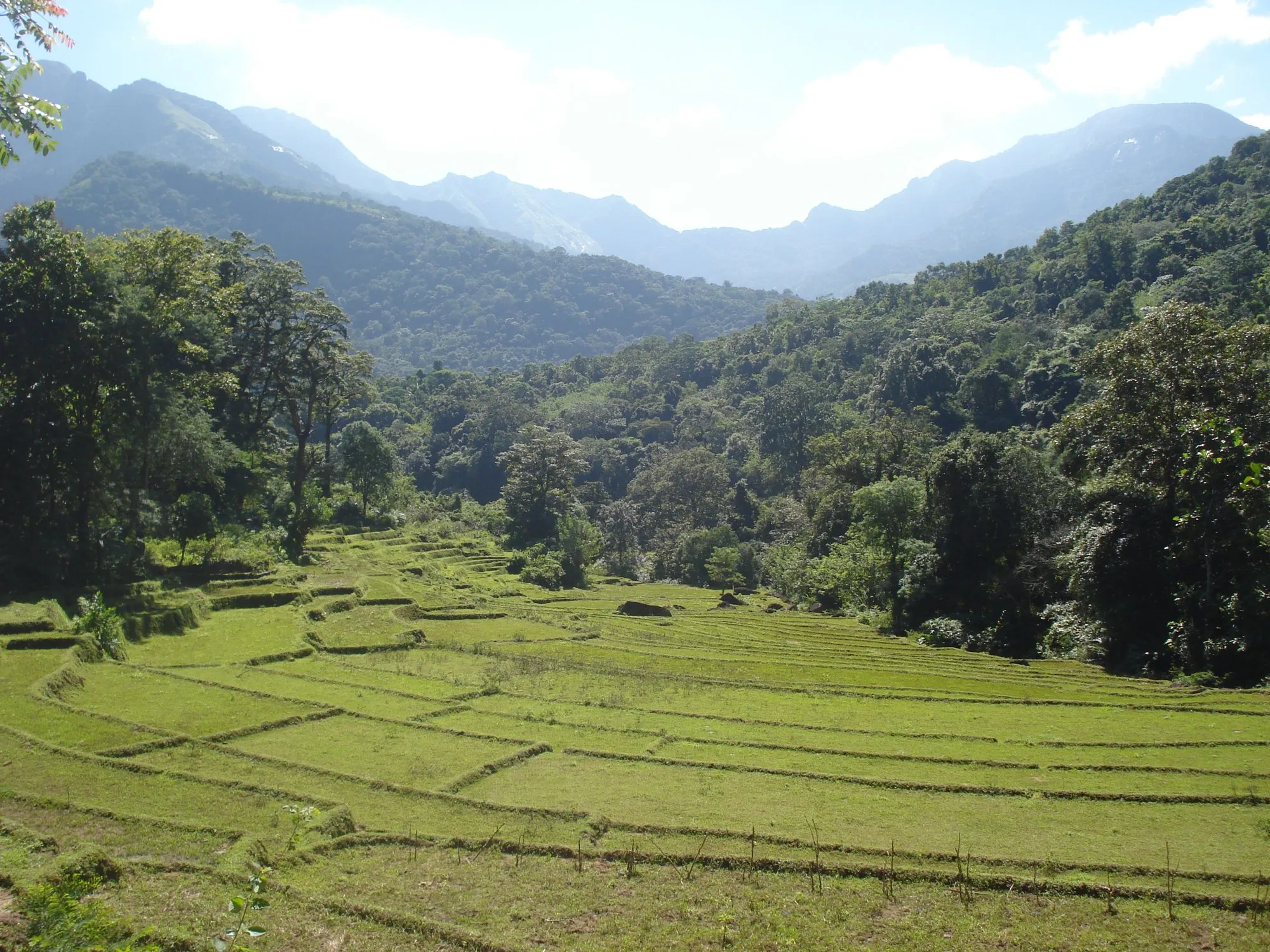
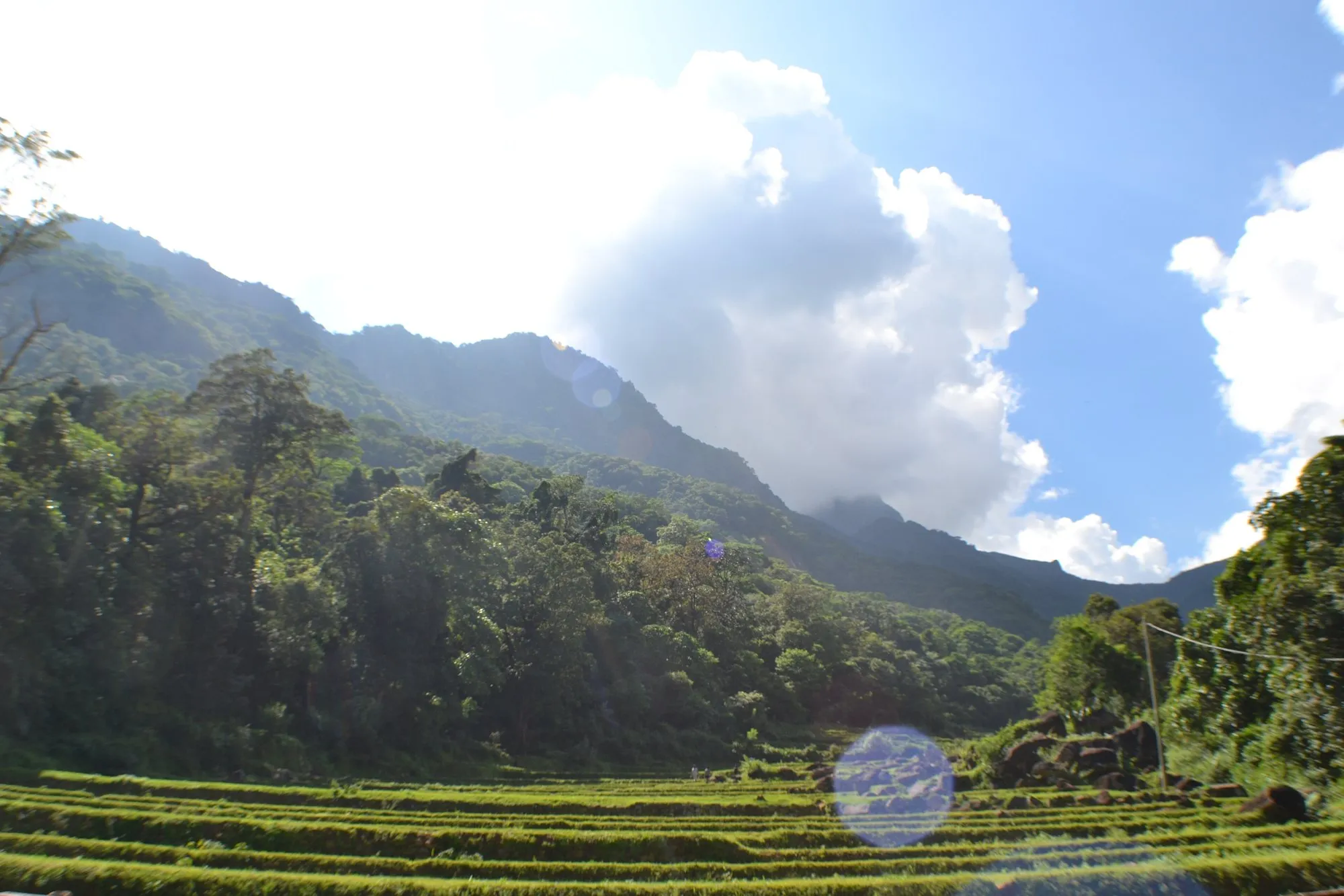
At the end of a single road over the Knuckles Range, in a valley below the sharp peak of Lakegala, about 400 people live in the village of Meemure. They grow rice in terraced paddies, with pepper, cardamom and ginger on the slopes, much as their families have for generations.
Meemure is only 78 km from Kandy, but the last stretch is slow, steep and rough, and for most of its history the village was reached on foot. This guide covers how to get there, what to do, and how to visit a place this small without changing it.
The route at a glance
Tap a dot for details. Drag and zoom to explore.
Getting there
From Colombo: about 123 km to Kandy (about 3½ hours), then on to Meemure. Allow a full day.
From Kandy, 78 km, about 3 hours:
- Take the Kandy–Mahiyangana road (A26) east to Hunnasgiriya junction, about 41 km.
- Turn left onto the mountain road. It climbs past Loolwatte to Corbett’s Gap (Attala Mottuwa), a windy pass with wide views over the Knuckles Range.
- From the pass, the road drops about 12 km into the Meemure valley. This is the slow part: steep, narrow and rough in places. Use a high-clearance vehicle or a 4x4, and go slowly after rain.
Without a car: a village van is reported to run once a day from Hunnasgiriya junction, around late morning. It’s the cheapest way in and a good way to meet people, but the timing isn’t reliable: confirm it locally the day before. Otherwise, hire a jeep with a driver in Kandy or at Hunnasgiriya.
Bring cash from Kandy. Don’t count on an ATM, card payments or reliable phone signal past Hunnasgiriya.
What to do
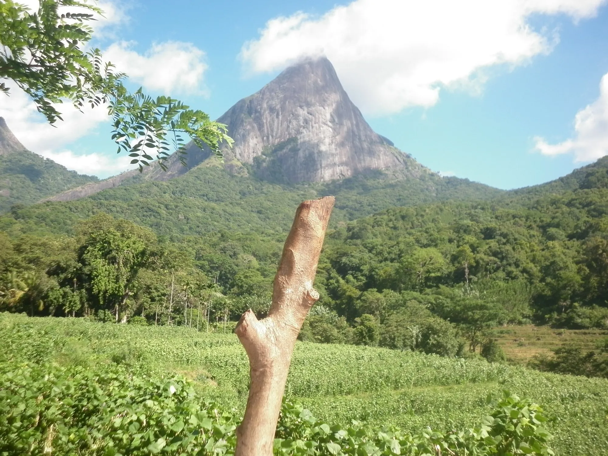
- Climb Lakegala. The pointed peak above the village is Meemure’s landmark. Local legend says that this is where King Ravana’s flying machine, the Dandu Monara, took off. The climb is steep and exposed near the top: go with a local guide, start early, and turn back if the weather closes in.
- Walk the paddy terraces and the paths between farms. Ask before crossing private land.
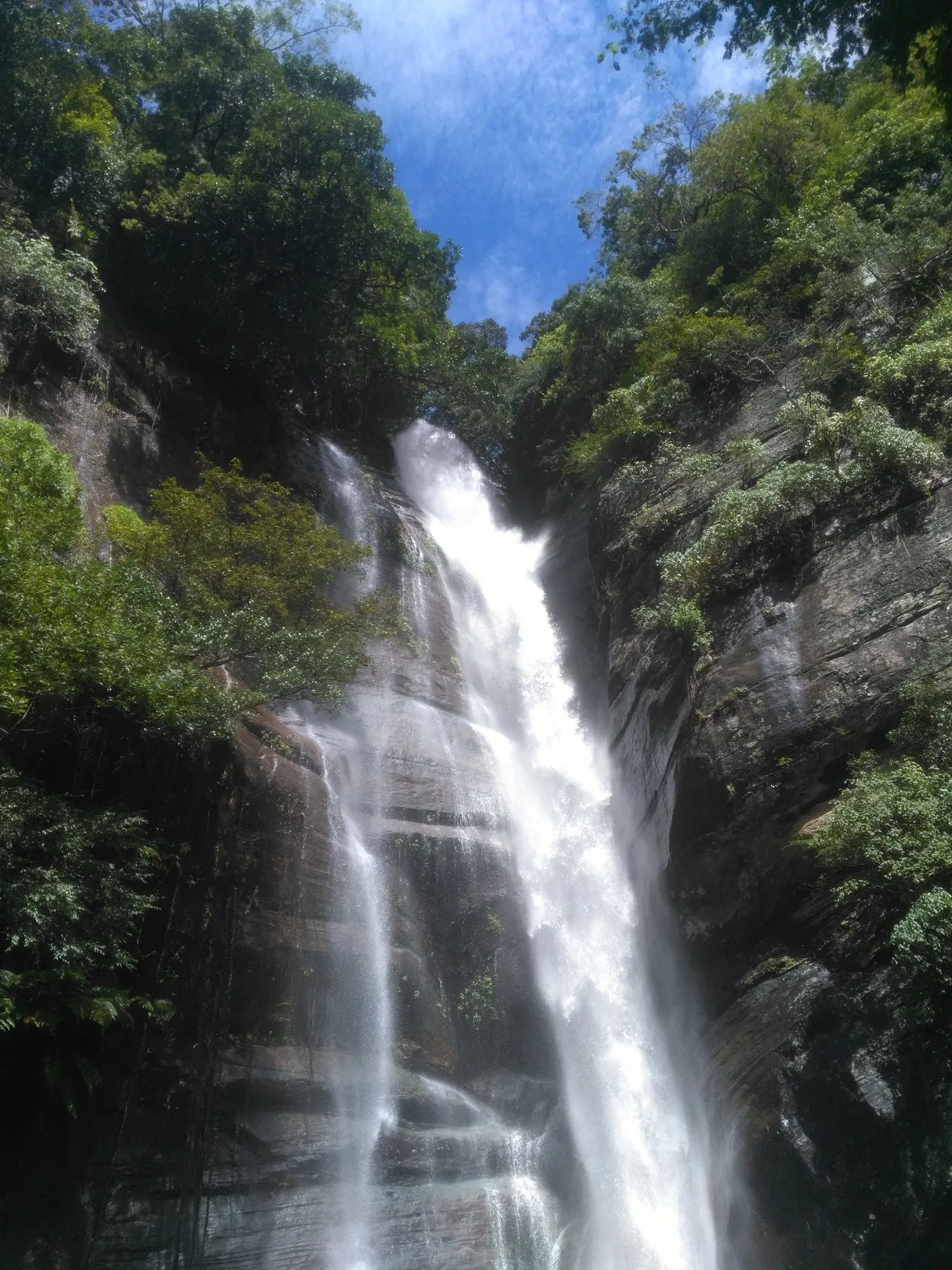
- Swim in the river and visit the waterfalls in the valley. Ask your hosts which pools are safe; water levels rise fast after rain.
- Stop at Corbett’s Gap on the way in or out for the view over the Knuckles, part of the Central Highlands of Sri Lanka World Heritage Site.
Where to stay
Don’t expect hotels. Visitors stay in family homestays and at campsites in the village, usually booked by phone or through a contact in Kandy. Expect simple rooms and home-cooked Sri Lankan food, often made with rice and vegetables grown in the valley.
When to go
The road is at its worst after heavy rain, when the descent from Corbett’s Gap can be slippery and streams rise. Check the weather before you go, ask your homestay about the road, and allow an extra day in case you have to wait.
Visiting with respect
Meemure is a farming village of a few hundred people, not an attraction. A few simple rules keep it that way:
- Dress modestly, and ask before photographing people or homes.
- Keep music off and voices down, especially at night.
- Take every bit of rubbish back out with you.
- Spend your money locally: homestays, guides, food, produce.
Every leg
Measured with Google Maps on 12 October 2026. The last section is slow: allow extra time after rain.
| Leg | Distance | Driving | From start |
|---|---|---|---|
| Kandy→Hunnasgiriya junction | 41 km | 1 h 20 | 41 km |
| Hunnasgiriya junction→Corbett's Gap | 25 km | 1 h 02 | 66 km |
| Corbett's Gap→Meemure | 12 km | 37 min | 78 km |
| Total | 78 km | 2 h 59 |
Free stops on this route
Places that cost nothing to visit. Rules for staying overnight are in the guide above.
- Free stop
Corbett's Gap (Attala Mottuwa)
Windy pass with views over the Knuckles.
- Free stop
Lakegala
The peak above the village. Climb with a local guide.
Along the way
Sources
We last checked this guide on 12 Oct 2026. Roads, fees and rules change. If something is out of date, tell us at support@nexaround.com.