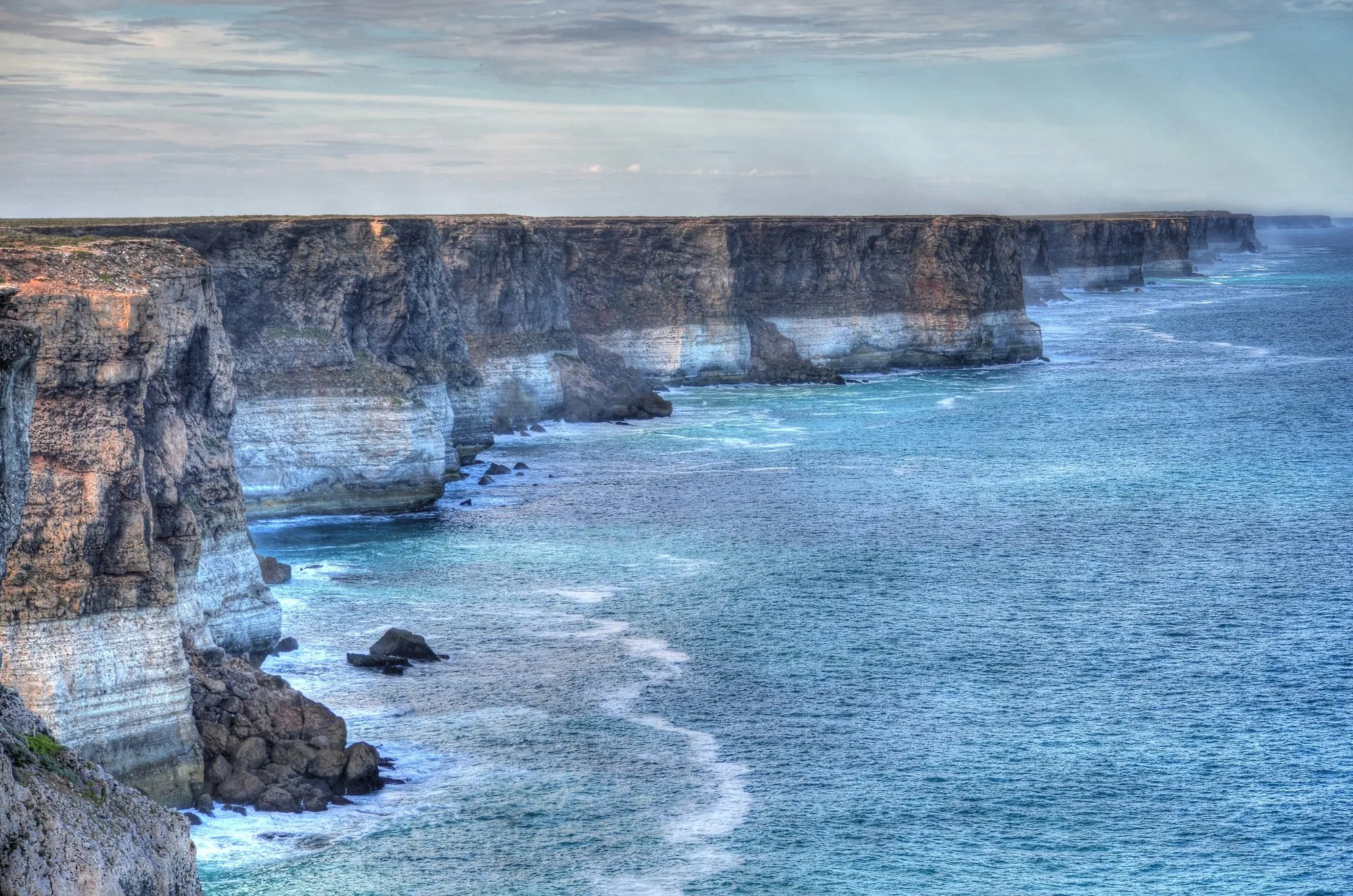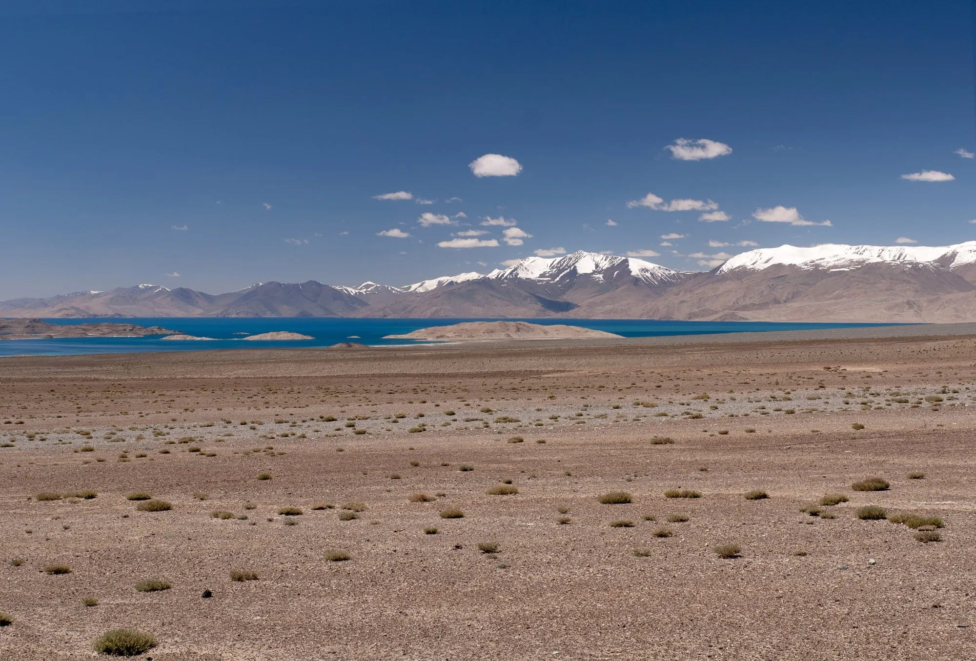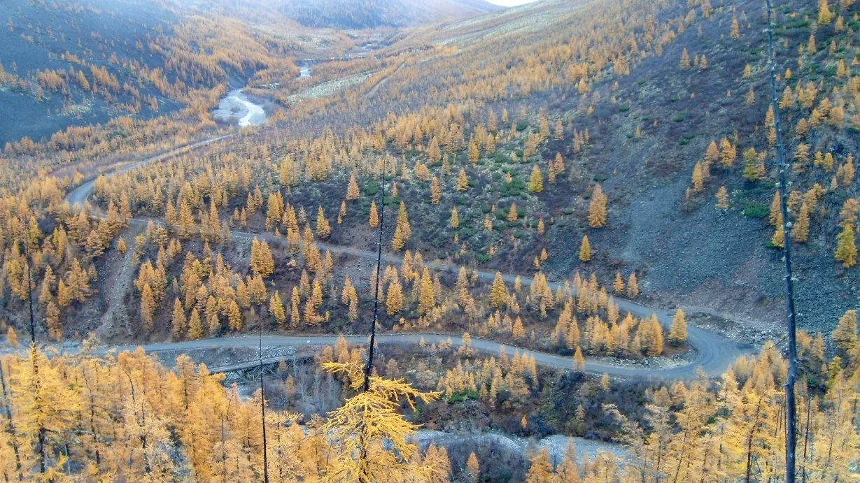
On the remote roads we cover, phone signal is the exception. Across the Nullarbor it's reliable only around the roadhouses. On the Pamir plateau and the Kolyma Highway, there can be nothing for hundreds of kilometres.
Driving without signal is fine if you plan for it. This guide is the checklist we use: maps that work offline, fuel and water you can count on, a way to call for help that doesn't need a phone mast, and what to do if the car stops.
1. Maps that work offline
Download before you lose signal, while you’re still on hotel Wi-Fi:
- Google Maps lets you download areas and navigate offline. Download the whole route plus a wide margin either side. In some countries offline download isn’t available; check before you rely on it.
- OpenStreetMap-based apps such as Organic Maps or OsmAnd download whole regions and work fully offline, including routing. They often show tracks that Google doesn’t.
- Save the places that matter as pins: every fuel stop, where you’re sleeping, hospitals or clinics, and police posts.
- Screenshot or print bookings, permits and directions to your first night’s stop.
Carry a paper map too. It never runs out of battery.
2. Don’t let the app choose the road
Navigation apps are built for places with good data. Out here, they can be dangerously wrong:
- In Yakutia in 2020, a young driver followed Google Maps onto the abandoned Old Summer Road in winter and froze to death. That road’s bridges have been gone for years.
- When we measured routes for this site, Google Maps placed three Nullarbor stops at points away from the highway, adding nearly 90 km to the Adelaide–Perth total. In Yakutia it offered a detour of more than 1,100 km because it didn’t know a road existed.
The fix: plan the route yourself, with waypoints on exact places (a roadhouse’s pin, not a town name), check it against a paper map or a guide, and ask locals about road conditions before each leg. If the app suddenly wants you on a smaller road, stop and find out why.
3. Fuel: plan for the longest gap
- Find the longest stretch without fuel on your route. On the Nullarbor it’s 191 km (Balladonia to Norseman); in the Pamirs and on the Kolyma Highway, stations can be much further apart and may be closed.
- Work out your real range: tank size divided by consumption. Then knock off a third for headwinds, heat with the air-conditioning on, heavy loads and gravel.
- Fill up at every stop, even half-full, and carry spare fuel where it’s legal and safe, so you can always cover two legs in case a pump is dry.
4. Water and food
NSW National Parks advises carrying at least 4 litres of water per person per day, plus a 20-litre emergency reserve. In real heat, carry more. Pack food that needs no cooking for two extra days.
5. A way to call for help without signal
You need at least one of these on any truly remote road:
- Satellite SOS on your phone. Recent iPhones can send emergency texts by satellite in a growing list of countries (Norway was added in September 2026), and some recent Android phones offer something similar. It needs a clear view of the sky, and it only works where it’s supported. Check before you go.
- A satellite messenger. A small device that sends texts and an SOS by satellite almost anywhere. It needs a subscription, but lets you send “all fine” messages too.
- A personal locator beacon (PLB). A 406 MHz beacon sends your position to search-and-rescue services worldwide, with no subscription. Register it with your country’s authority (in Australia, AMSA; registration is free). Older 121.5 MHz-only beacons are no longer detected in Australia.
Set off only after you’ve told someone your route and when to expect you, and agreed what they’ll do if you don’t check in.
6. If the car stops
- Stay with your vehicle. It’s far easier to spot from the air than a person walking. Raise the bonnet, and put out something bright or reflective.
- Stay in the shade, and ration your sweat, not your water. Drink what you need.
- Use your beacon or satellite SOS if anyone’s life or health is at risk. That is what they’re for.
7. Before you leave town
- Service the car, and carry a good spare tyre (two for long gravel roads), a puncture repair kit and a pump.
- Don’t drive at dawn, dusk or night on outback roads, when animals are on the move.
- Charge everything, and carry a power bank and a car charger.
- Check the weather and road conditions for the next leg, every morning.
Ready to try it? Our Nullarbor road trip guide is a good first remote drive: long gaps, but sealed road all the way.
Sources
- Google Maps Help: Download areas and navigate offline
- NSW National Parks and Wildlife Service: Outback safety (water, staying with your vehicle)
- Australian Maritime Safety Authority: distress beacons (registration, types)
- MacRumors: Emergency SOS via satellite now available in Norway (September 2026)
- Wikipedia: R504 Kolyma Highway (the 2020 Old Summer Road incident)
We last checked this guide on 12 Oct 2026. Roads, fees and rules change. If something is out of date, tell us at support@nexaround.com.