
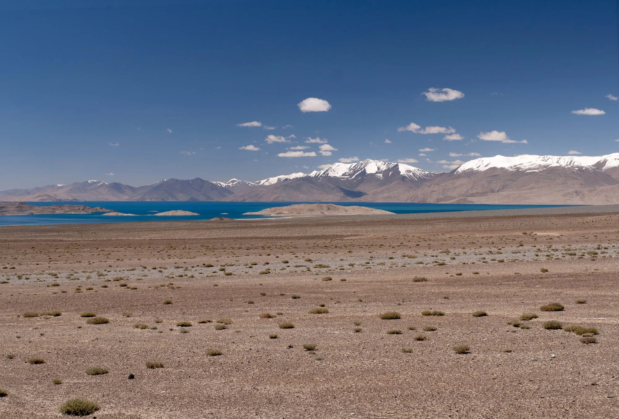
The Pamir Highway climbs out of Osh in Kyrgyzstan, crosses into Tajikistan at a pass above 4,000 m, and runs across the high, empty plateau of the eastern Pamirs before dropping to follow the Panj River, with Afghanistan on the far bank, all the way to Khorog and on to Dushanbe.
Built mostly by the Soviet Union in the 1930s, it's one of the highest international roads in the world, and one of the great overland journeys. This guide covers the route, the permit you need, altitude, and the homestays that make it possible.
The route at a glance
Tap a dot for details. Drag and zoom to explore.
The route
| Stretch | What it’s like |
|---|---|
| Osh → Sary-Tash (Kyrgyzstan) | Good road over the Alay range to the last Kyrgyz village. |
| Sary-Tash → Kyzyl-Art Pass | Across the Alay valley, with the Pamirs rising ahead, to the border at 4,250 m. |
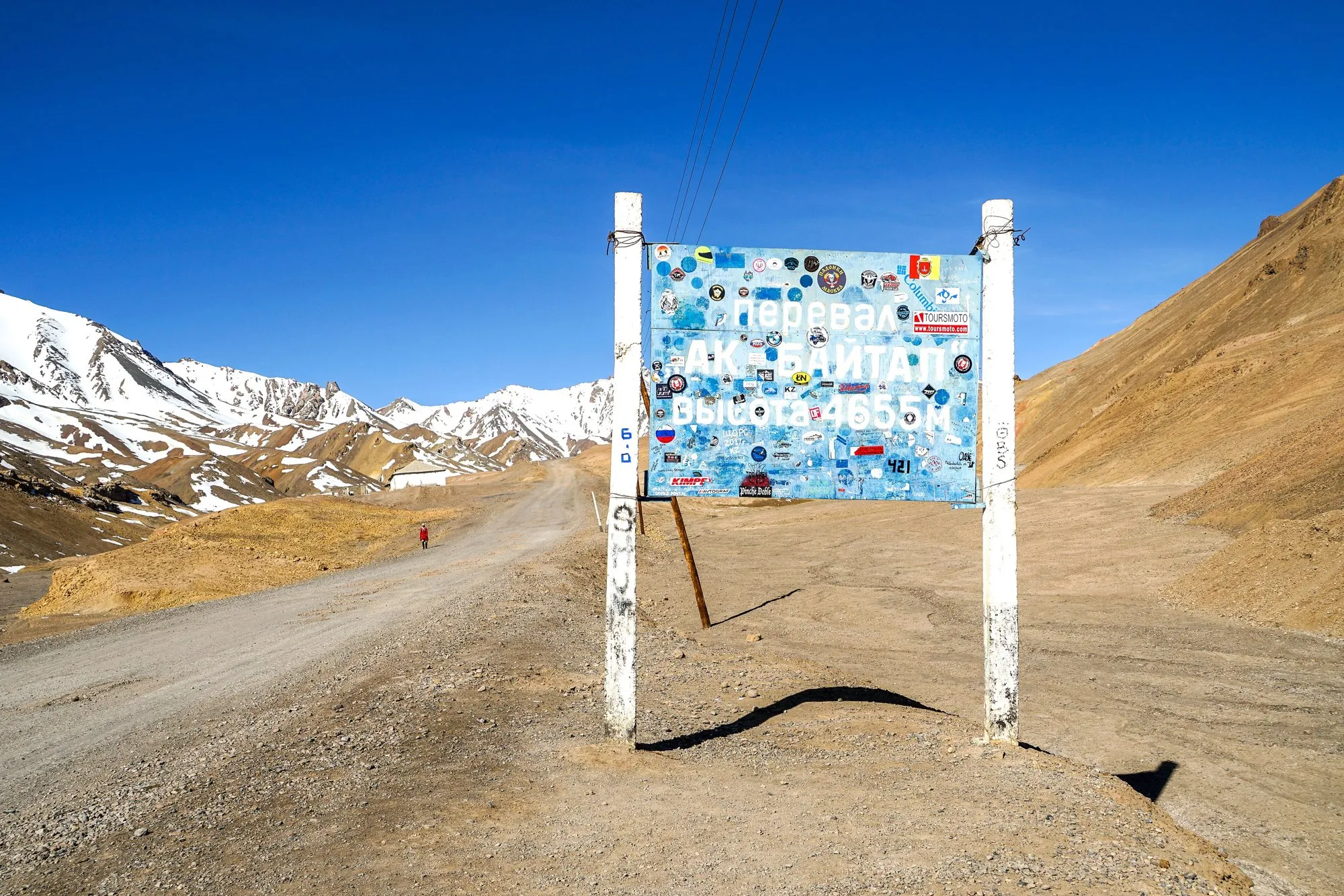
| Kyzyl-Art → Karakul → Murghab | The high plateau: bare, cold, and spectacular, past the huge lake of Karakul and over Ak-Baital Pass (4,655 m). |
| Murghab → Khorog | About 310 km, crossing the plateau then dropping west down long valleys to Khorog, the regional capital. |
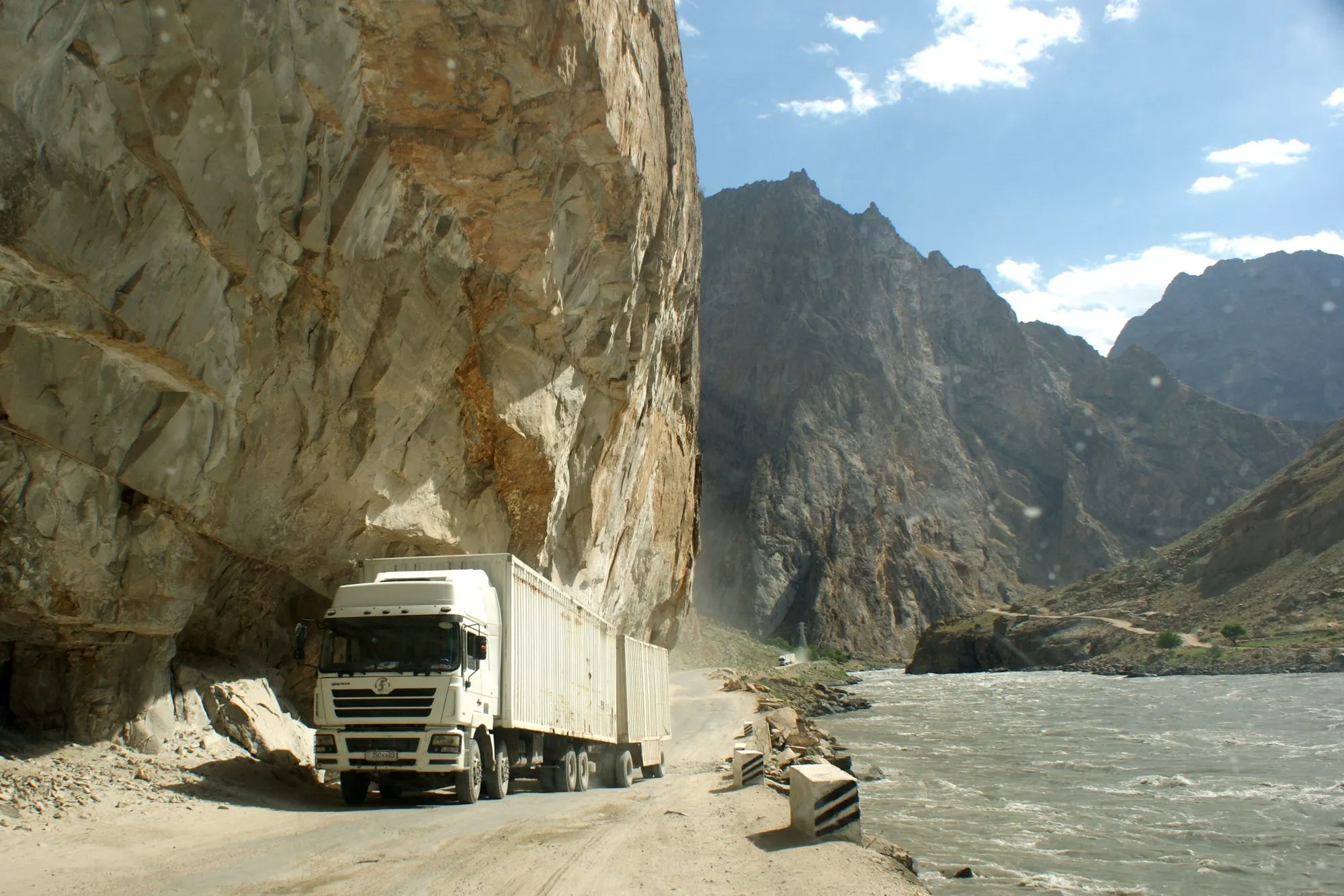
| Khorog → Kalaikhum | Along the Panj River. The road is cut into the cliffs, and the far bank is Afghanistan, close enough to see villages and people. |
| Kalaikhum → Dushanbe | Two choices (see below). |
From Kalaikhum to Dushanbe you can take the northern route over the mountains via Tavildara, about 300 km (shorter but rougher, and best in summer), or the southern route via Kulob, about 350 km (longer, but easier driving).
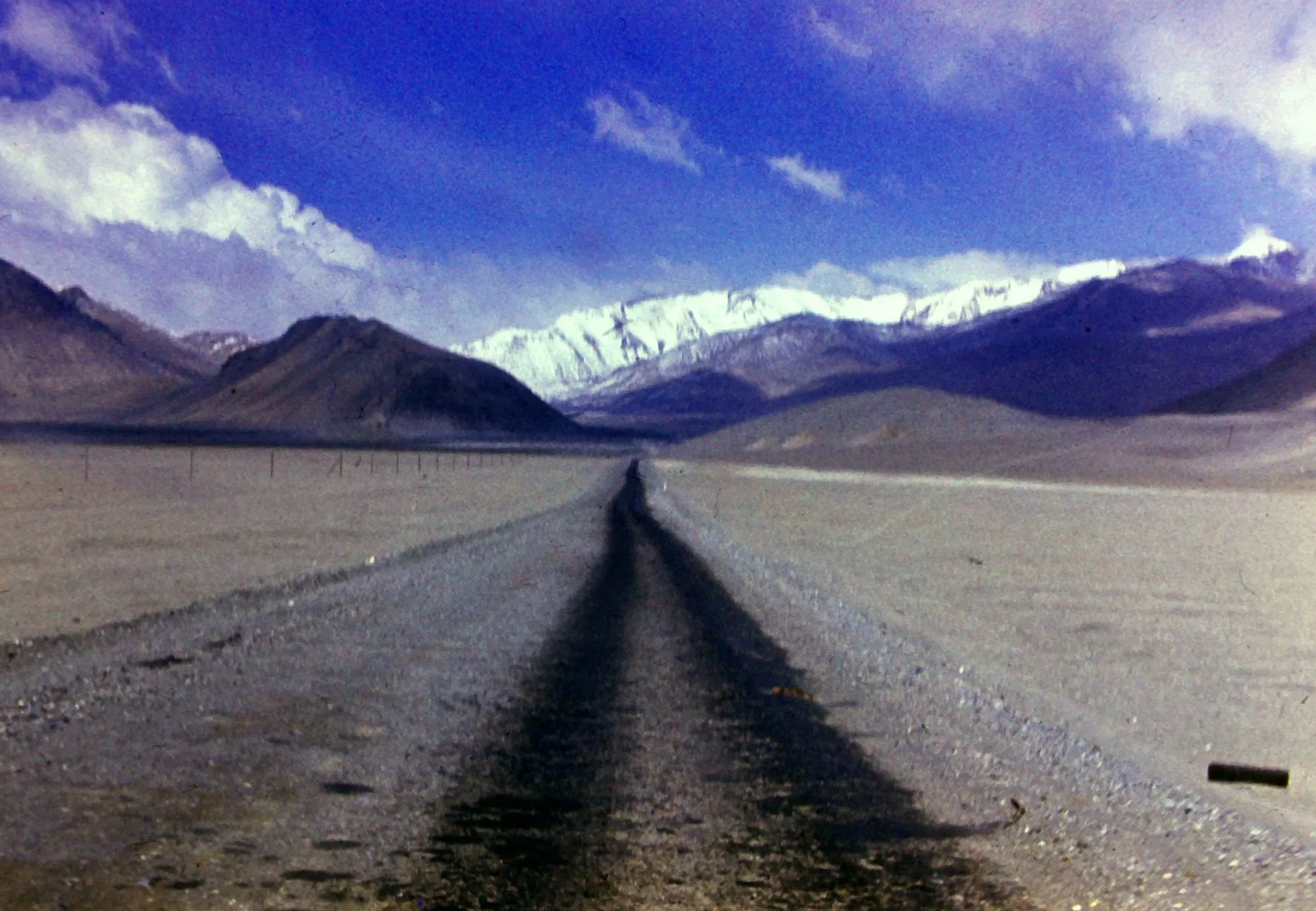
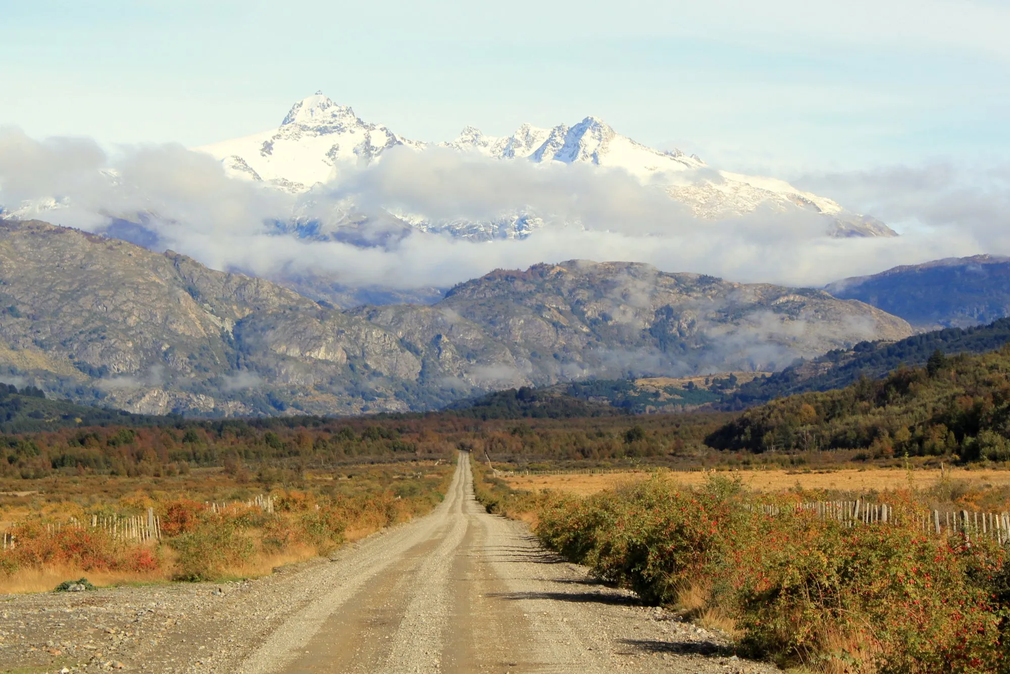
The whole road is “paved most of the way” on paper. In practice, apart from the Kyrgyz section and the approach to Dushanbe, long stretches are broken by earthquakes, landslides, erosion and avalanches. Expect gravel, washouts and road works.
The GBAO permit
Most of the Tajik Pamirs lie in the Gorno-Badakhshan Autonomous Region (GBAO), a border zone. On top of your visa you need a GBAO permit:
- With an e-visa: tick “yes” for the GBAO permit on Tajikistan’s official e-visa application; it costs extra.
- Otherwise: at a Tajik embassy, or at the visa and registration office (OVIR) in Dushanbe.
The permit is checked at police and military checkpoints all along the highway, and each checkpoint may keep a copy. Print ten copies before you set out.
Altitude
Much of the eastern half is above 3,500 m, and you’ll cross 4,250 m and 4,655 m. Altitude sickness is a real risk, especially driving in from Osh, which is low.
- Go slowly: spend a night in Sary-Tash before the border, and in Karakul or Murghab before going higher.
- Drink plenty, skip alcohol for the first nights up high.
- Headache, nausea or breathlessness at rest mean stop and go no higher. Severe symptoms mean go down, now.
Nights on the plateau are cold even in summer.
Where to sleep
Outside Osh, Khorog and Dushanbe, the highway runs on homestays: rooms in family homes, with dinner and breakfast included. In Karakul and Murghab they’re simple and warm, often with shared, outdoor toilets. You don’t need to book far ahead in most places, but carry cash.
Getting around
- Your own 4x4 (or a rental in Osh), with spare tyres and fuel cans. Fill up in every main town; stations in between are few.
- Shared 4x4 taxis run between the main towns, usually leaving when full.
- A driver for the whole route, booked in Osh or Khorog: the most comfortable way, and the most flexible for stops.
- By bicycle: a famous route for long-distance cyclists. Expect wind, altitude and very long days.
When to go
June to September. Before June, passes can be snowbound; after September the plateau turns bitterly cold and snow can close the high passes. Even in midsummer, snow is possible at Ak-Baital.
Money and phones
Carry cash: US dollars to exchange, plus local currency for both countries (Kyrgyz som, Tajik somoni). Use ATMs in the cities, and don’t count on them anywhere in between. Mobile signal is patchy on the plateau and along the Panj; download offline maps before you leave Osh.
Every leg
Osh to Kalaikhum, measured with Google Maps on 12 October 2026. Driving times assume good conditions; landslides, checkpoints and road works can add hours.
| Leg | Distance | Driving | From start |
|---|---|---|---|
| Osh→Sary-Tash | 186 km | 3 h 22 | 186 km |
| Sary-Tash→Karakul | 98 km | 1 h 37 | 284 km |
| Karakul→Murghab | 132 km | 1 h 45 | 416 km |
| Murghab→Khorog | 310 km | 6 h 56 | 726 km |
| Khorog→Kalaikhum | 242 km | 6 h 45 | 968 km |
| Total | 968 km | 20 h 25 |
Free stops on this route
Places that cost nothing to visit. Rules for staying overnight are in the guide above.
- Free stop
Kyzyl-Art Pass
4,250 m. Kyrgyz–Tajik border crossing.
- Free stop
Ak-Baital Pass
4,655 m, the highway's highest point.
Along the way
Sources
We last checked this guide on 12 Oct 2026. Roads, fees and rules change. If something is out of date, tell us at support@nexaround.com.

.jpg)


