
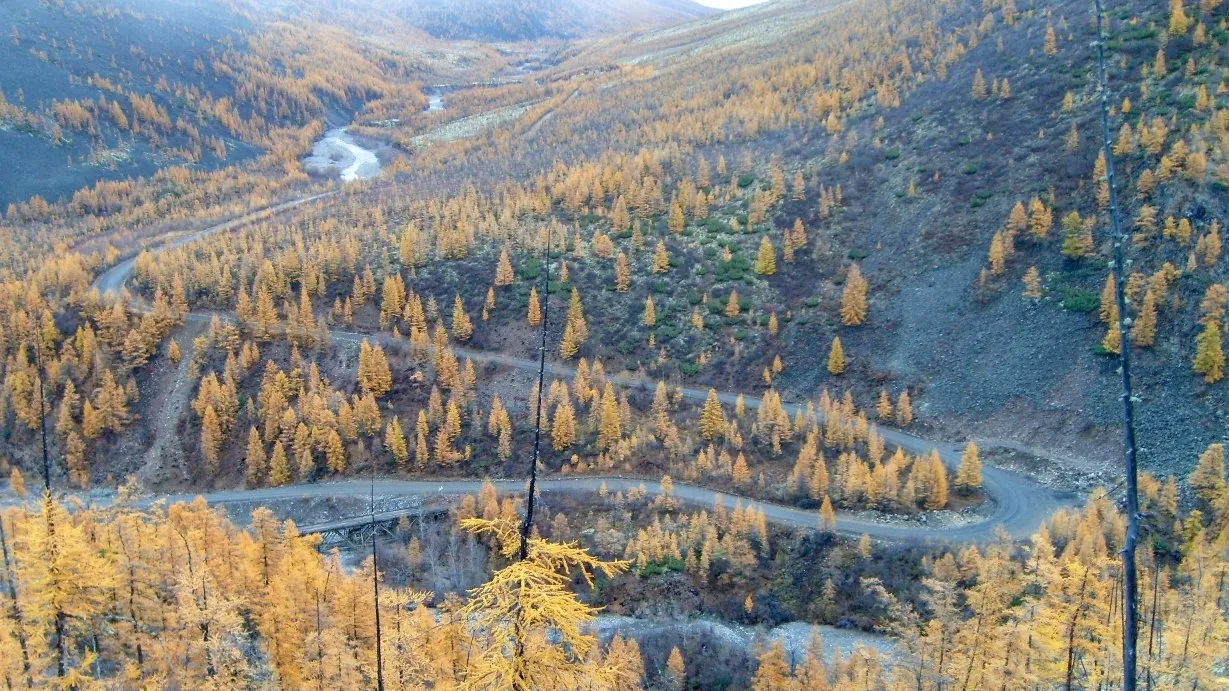
The R504 Kolyma Highway runs from the Lena River opposite Yakutsk to the port of Magadan on the Sea of Okhotsk: about 2,000 km through larch taiga, over mountain passes and past abandoned mining towns. It was built by prisoners of the Gulag, and that's where its other name comes from.
Today most of it is a maintained all-weather gravel road, and every summer a few overlanders, cyclists and motorcyclists drive the whole thing. This guide covers the route, the seasons, the river crossings that decide when you can go, and the one detour you must not take.
The route at a glance
Tap a dot for details. Drag and zoom to explore.
Why it’s called the Road of Bones
The highway was built from 1932 by Dalstroy, the Stalin-era trust that ran gold mining in the Kolyma region, using prisoners from the Gulag camps there. Prisoner labour continued until 1953.
The name comes from the belief that prisoners who died building it were buried in the roadbed. Thousands certainly died in the Kolyma camps; whether their remains lie under the road itself has never been confirmed. Either way, this is a road through one of the darkest chapters of the 20th century. Travel it with that in mind.
The route
The official start is Nizhny Bestyakh, on the east bank of the Lena opposite Yakutsk. From there it’s about 2,031 km to Magadan, or 1,993 km from Yakutsk itself by our measurement.
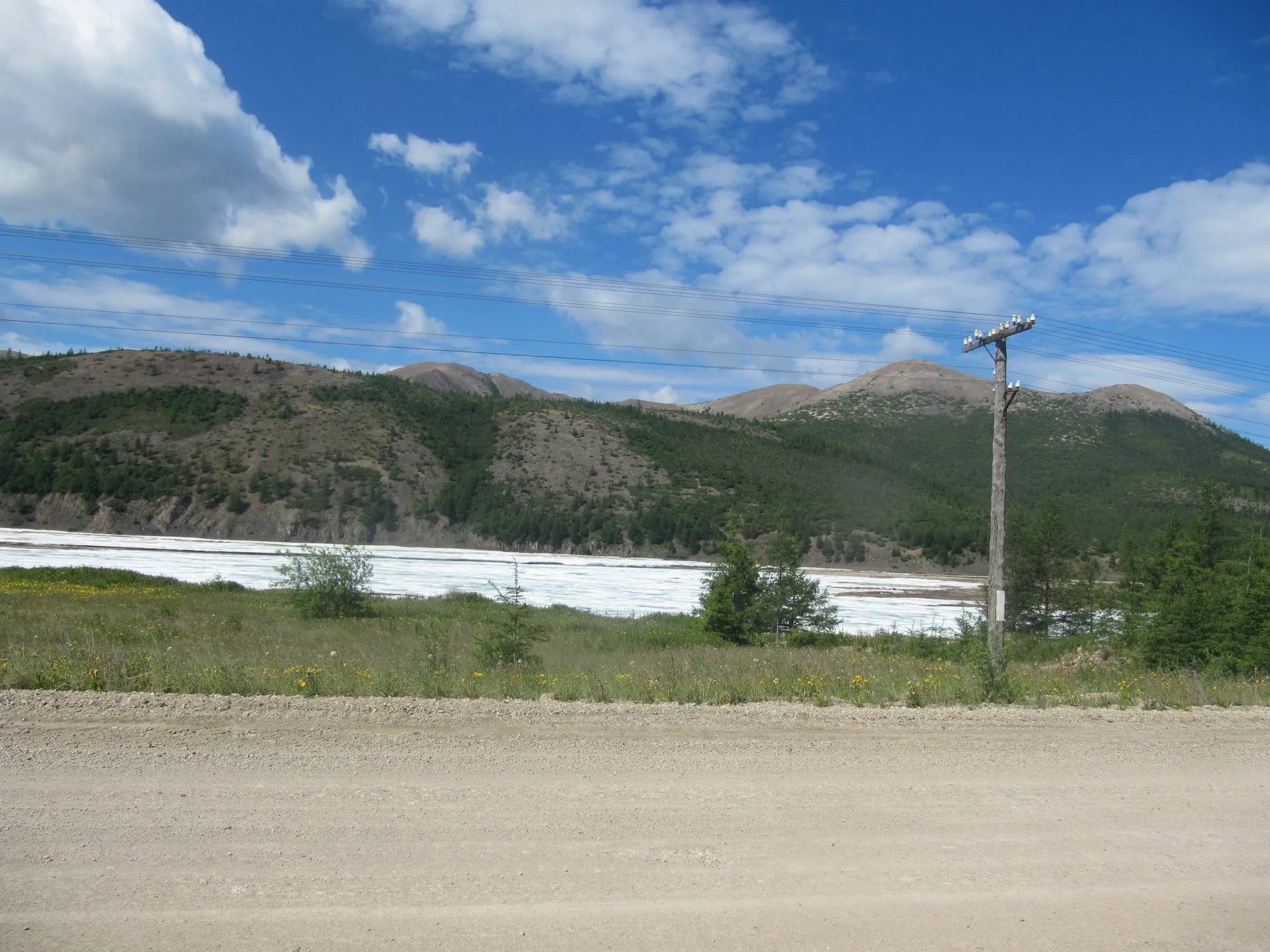
- The Lena. There is still no bridge at Yakutsk. In winter you cross on an ice road; in summer, by ferry. When the ice is forming or breaking up, there is no crossing at all for weeks.
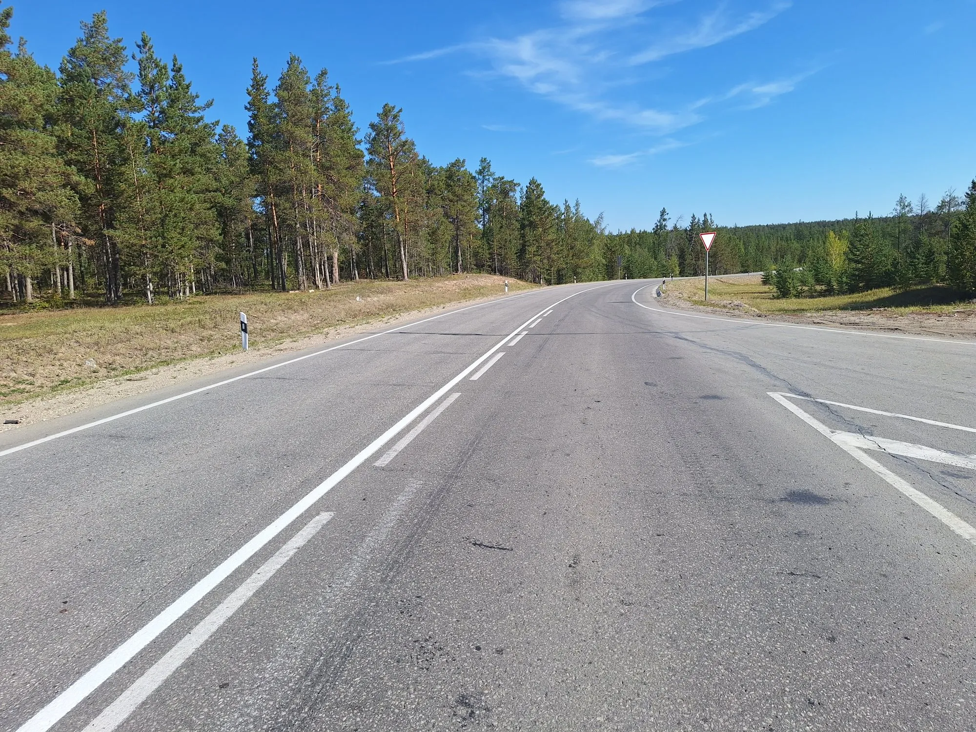
- Paved, then gravel. The first stretch east of the Lena is paved, and so is the last stretch into Magadan. In between, the highway is a maintained all-weather gravel road. It has been since 2008, and it’s far better than its reputation, but dust, potholes and washboard surfaces are part of the trip.
- The Aldan. Near Khandyga the road crosses the Aldan River by ferry in summer (on the ice in winter). A bridge is planned.
- Kyubeme to Ust-Nera. At Kyubeme the modern highway turns north-east over the mountains to Ust-Nera, the gold-mining town on the Indigirka, then south-east to Susuman.
- Into Magadan Oblast. Past the abandoned mining town of Kadykchan and Susuman, over the Kolyma River at Debin, and on through long stretches of empty taiga to the coast at Magadan.
Don’t take the Old Summer Road
From Kyubeme, an older route runs via Tomtor and Oymyakon towards Kadykchan. The section east of Tomtor is abandoned: bridges washed away, the road reclaimed by streams. In 2020 a teenage driver followed Google Maps onto it in winter and froze to death; his passenger lost most of his limbs to frostbite.
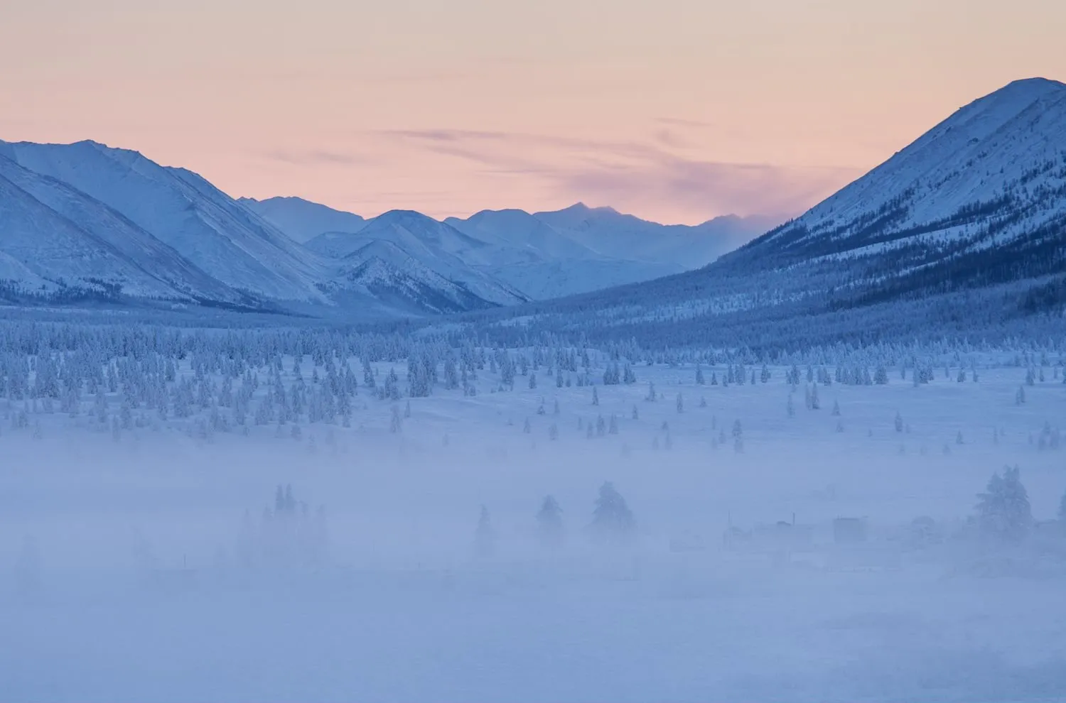
The side trip to Oymyakon and back is fine and well used: about 190 km each way from Kyubeme. See our Oymyakon guide. Just don’t try to continue east from Tomtor.
When to go
- July and August: the best months for a summer trip. The road is dusty but in reasonable shape.
- Late May and June: frequent rain and mud, plus bears and ticks in the taiga.
- September: autumn colours, rain, and the first serious cold. By the end of the month, rivers start to freeze.
- Winter (December to March): the gravel is frozen hard and rivers can be crossed on the ice, but temperatures of −40 °C and below make it a different, much more dangerous trip. It needs a winterised vehicle, cold-weather experience, and ideally a second vehicle.
- Spring and autumn shoulder weeks: the Lena crossing at Yakutsk may be closed. Check before you commit.
Fuel, food and sleep
Fill up in every town you pass, and carry spare fuel: the gaps between towns are long, and a closed pump can strand you. After Orotukan there are long stretches of nearly empty taiga.
Carry at least one spare tyre (two for long stretches), a puncture kit, and spare parts for your vehicle. If you break a wheel out here, you may not be able to replace it.
The towns along the way have simple hotels and guesthouses, and roadside cafés serve hot food in places. Plan your days around reaching a town by evening.
Along the way
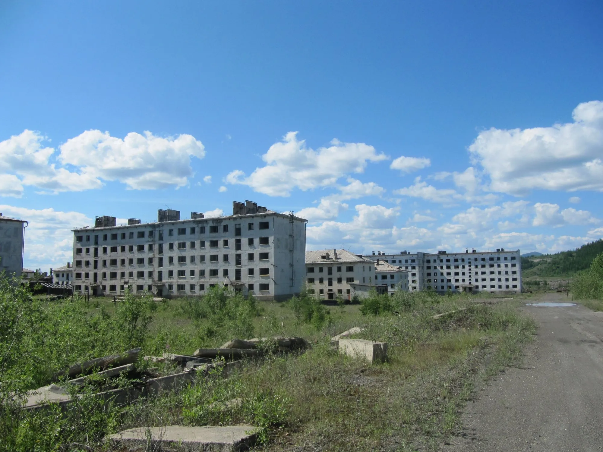
- Kadykchan. A mining town now standing empty beside the road: rows of abandoned apartment blocks, and a reminder of how many people have left the region since the Soviet era.
- The Kolyma bridge at Debin. The river that gave the region, and its camps, their name.
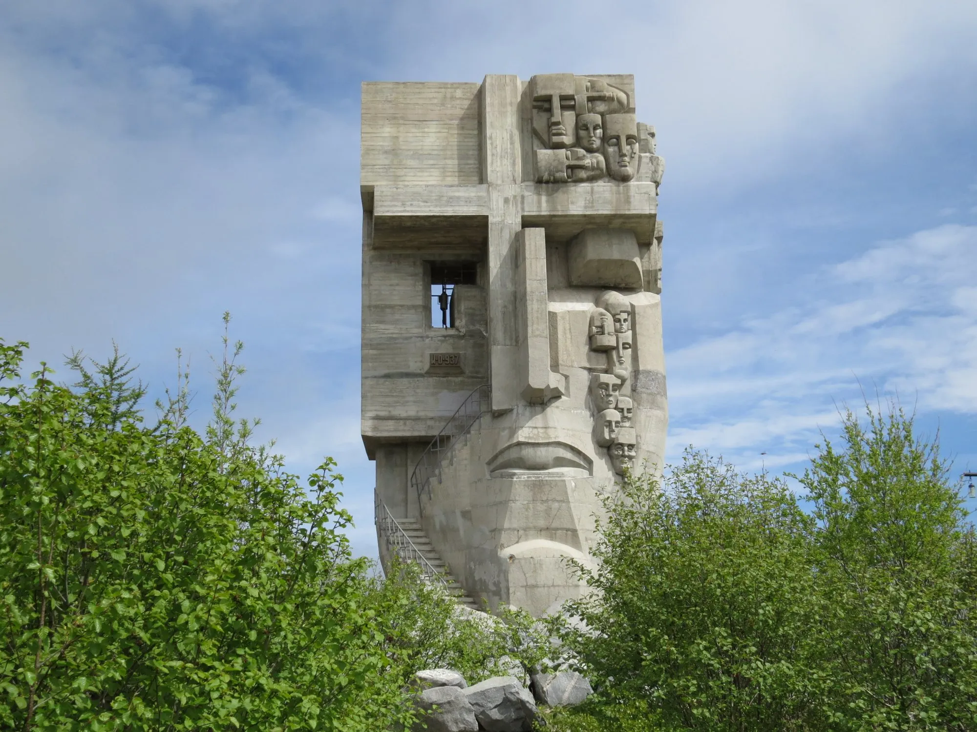
- The Mask of Sorrow, Magadan. A huge concrete memorial to the victims of the Gulag stands on Krutaya Hill above the city. It’s free to visit, and the right place to end this road.
Before you go: Russia in 2026
The same hard facts apply as for any trip to Russia right now:
- The US government tells its citizens not to travel to Russia (level 4), and the UK Foreign Office has advised against all travel. Check your own government’s advice and whether your insurance will cover you.
- Cards issued outside Russia don’t work there. Visa and Mastercard suspended operations in March 2022. Bring all the cash you’ll need.
- Most visitors need a visa; Russia offers an e-visa to many nationalities. Check the official list.
Getting home
Magadan has an airport at Sokol, about 40 km north of the city, with flights to the rest of Russia. There is no other road out: if you drove in, the Kolyma Highway is also the way back.
Every leg
Measured with OpenStreetMap routing (OSRM) on 12 October 2026. Driving times are the router's estimate for good conditions; on gravel, in rain or snow, expect much longer.
| Leg | Distance | Driving | From start |
|---|---|---|---|
| Yakutsk→Khandyga | 407 km | 10 h 18 | 407 km |
| Khandyga→Kyubeme | 321 km | 8 h 06 | 728 km |
| Kyubeme→Ust-Nera | 244 km | 6 h 06 | 972 km |
| Ust-Nera→Susuman | 393 km | 9 h 48 | 1,365 km |
| Susuman→Magadan | 628 km | 13 h 42 | 1,993 km |
| Total | 1,993 km | 48 h 00 |
Free stops on this route
Places that cost nothing to visit. Rules for staying overnight are in the guide above.
- Free stop
Kadykchan
Abandoned mining town beside the road.
- Free stop
Mask of Sorrow
Memorial to the victims of the Gulag, on Krutaya Hill.
Along the way
Sources
- Wikipedia: R504 Kolyma Highway (length, surface, history, Old Summer Road)
- Adventure Bike Rider: An insider's guide to the Road of Bones (seasons, river crossings)
- Wikipedia: Lena Bridge (crossing at Yakutsk)
- Wikipedia: Mask of Sorrow
- US State Department: Russia travel advisory
- UK Foreign Office: Russia travel advice
- PBS NewsHour: Mastercard and Visa suspend operations in Russia (March 2022)
We last checked this guide on 12 Oct 2026. Roads, fees and rules change. If something is out of date, tell us at support@nexaround.com.

.jpg)
.jpg)

