
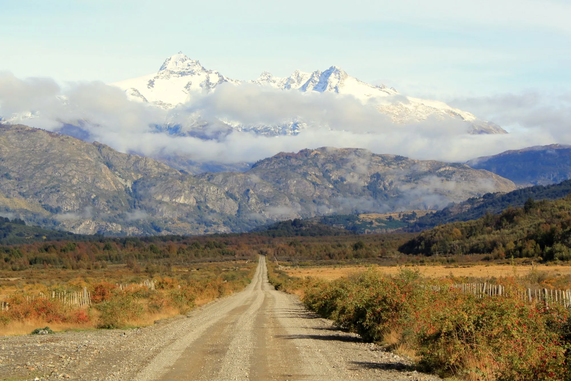
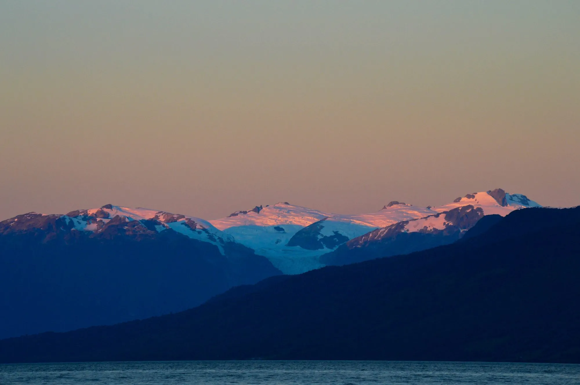
Chile's Route 7, the Carretera Austral, runs south from Puerto Montt through the wettest, wildest part of Patagonia: temperate rainforest, fjords, glaciers hanging off mountainsides, and lakes the colour of a swimming pool. It ends at Villa O'Higgins, where the road simply stops at the edge of the Southern Patagonian Ice Field.
Much of the southern half is still gravel, three stretches are crossed by ferry, and towns are small and far apart. This guide covers the route, the ferries you need to plan around, and the best stops.
The route at a glance
Tap a dot for details. Drag and zoom to explore.
The route at a glance
The road runs about 1,206 km from Puerto Montt to Villa O’Higgins. Roughly:
- North (Puerto Montt to Chaitén): fjords and rainforest, broken up by two ferries.
- Centre (Chaitén to Coyhaique): Queulat National Park and its hanging glacier, then Coyhaique, the only real town on the route.
- South (Coyhaique to Villa O’Higgins): big lakes, big mountains, long stretches of gravel, and very few people.
The three ferries
To drive the whole road you need three ferries:
- Caleta La Arena – Puelche, about 45 km south of Puerto Montt: about 40 minutes, running round the clock.
- Hornopirén – Caleta Gonzalo: about 5 hours through the fjords. Book this one ahead, especially with a vehicle in summer.
- Puerto Yungay – Río Bravo, south of Cochrane: about 50 minutes, on the way to Villa O’Higgins.
Many people skip the northern ferries by taking a ferry or flight to Chaitén or flying into Balmaceda, the airport for Coyhaique, and starting from there.
Paved, then gravel
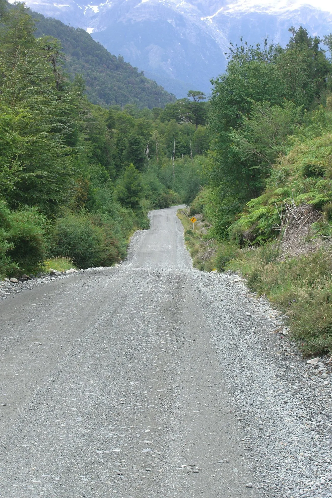
The northern and central sections are mostly paved now, but much of the south is still gravel. Expect dust when it’s dry, mud and potholes when it’s wet, and loose stones on bends. A normal car can manage in summer; a higher-clearance vehicle is more comfortable. Carry a full-size spare.
The best stops
- Pumalín Park, around Caleta Gonzalo and Chaitén: rainforest trails and the Chaitén volcano, which erupted in 2008.
- Queulat National Park: a short trail leads to a viewpoint of the Ventisquero Colgante, a glacier hanging off a cliff with waterfalls pouring from it. There’s a park entry fee.
- Coyhaique: banks, supermarkets, mechanics and the last big fill-up for a while.
- Cerro Castillo: the jagged peaks above Villa Cerro Castillo, with day hikes and a multi-day trek.
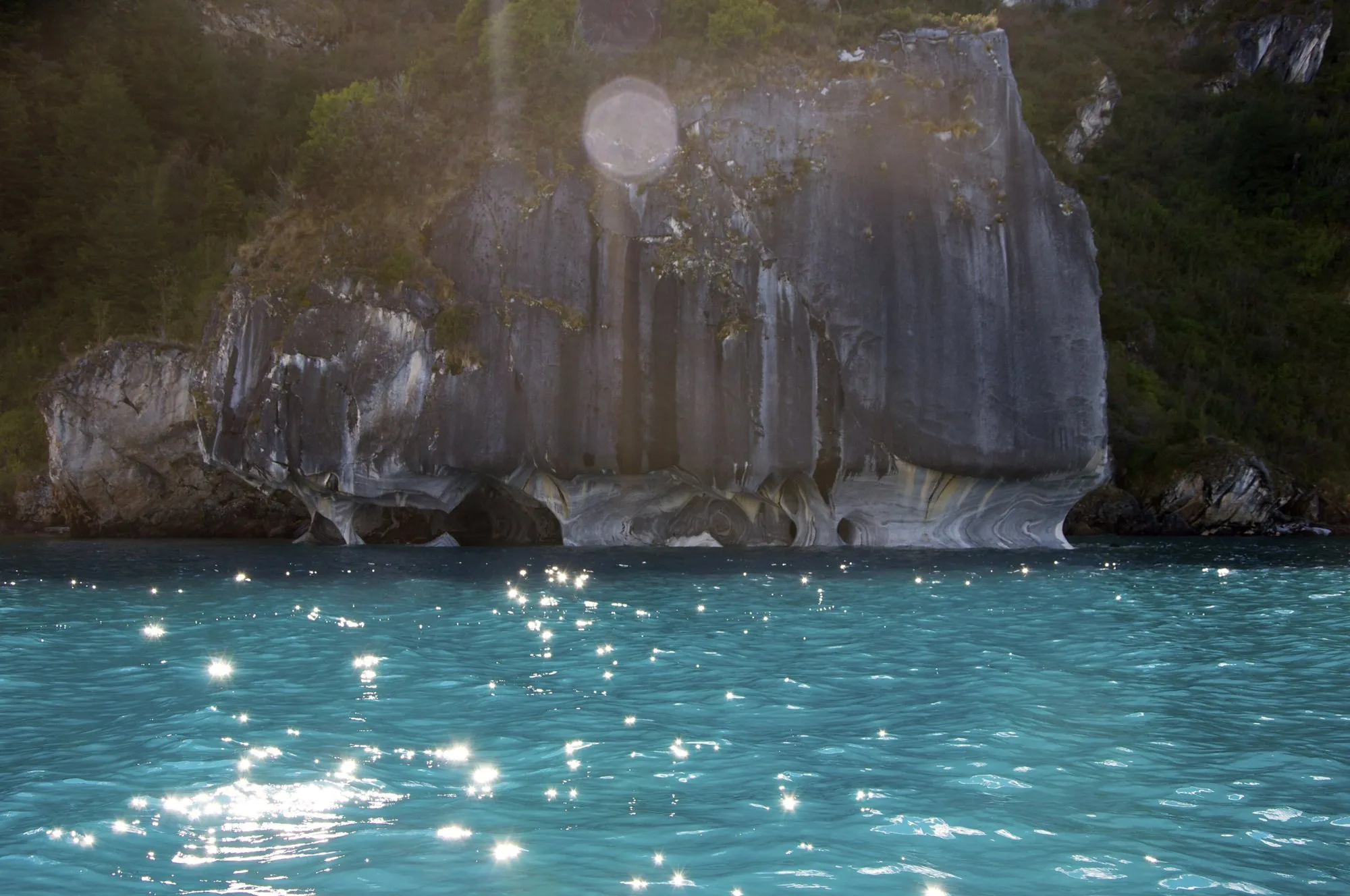
- The Marble Caves, on Lago General Carrera, Chile’s largest lake: boats and kayaks leave from Puerto Río Tranquilo to sail into caves of swirling blue-and-white marble. Go early on a calm morning; boats may not run in strong wind.
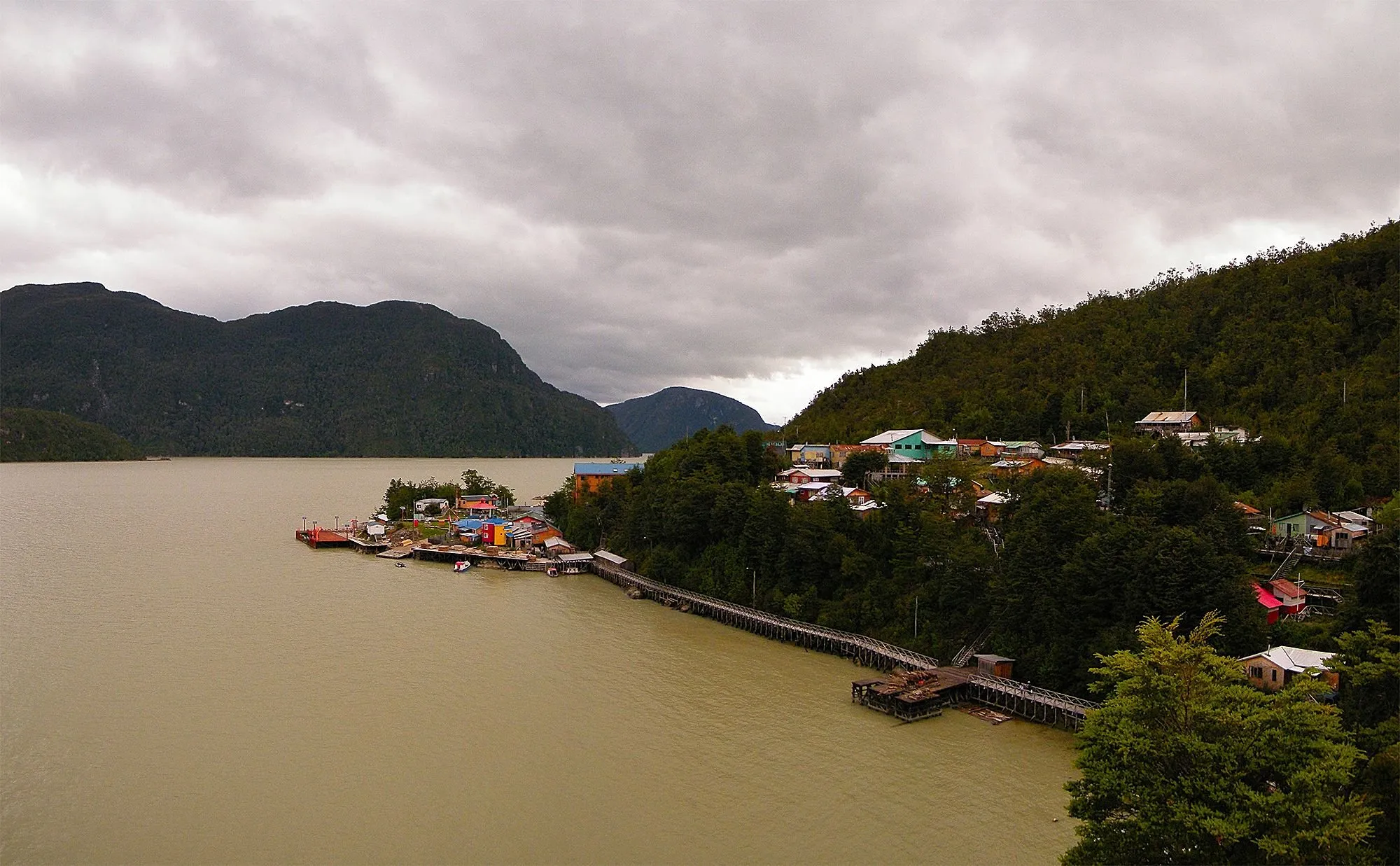
- Caleta Tortel: a short side road leads to a village with no streets, just wooden boardwalks and stairs along the shore.
- Villa O’Higgins: the end of the road. From here, between November and April, you can cross into Argentina to El Chaltén by boat, on foot or on horseback. It takes one to three days.
A road with a history
The Carretera Austral was built mostly by the Chilean Army, using conscripts, under the military government of Augusto Pinochet. It opened to traffic in 1988, reached Puerto Yungay in 1996, and Villa O’Higgins in 2000; the branch to Caleta Tortel followed in 2003. The road is still informally associated with Pinochet’s name, and you may see it on old signs.
When to go
November to March, the southern summer, is the time: longer days, more places open, and less chance of snow on the passes. January and February are the busiest. Whenever you go, expect rain in the north and strong winds in the south, sometimes on the same day.
Fuel, money and sleep
- Fill up at every town, especially at Coyhaique and Cochrane. South of Coyhaique, stations are few and can run out.
- Bring cash. Card payment and ATMs are unreliable in the small villages.
- Sleep in campsites, cabins (cabañas), hostels and family guesthouses. In January and February, book ahead in the popular stops.
Every leg
Measured with Google Maps on 12 October 2026, including the ferry legs. Times on gravel vary a lot with weather and road works.
| Leg | Distance | Driving | From start |
|---|---|---|---|
| Puerto Montt→Hornopirén | 106 km | 2 h 33 | 106 km |
| Hornopirén→Caleta Gonzalo (ferry) | 78 km | 4 h 02 | 184 km |
| Caleta Gonzalo→Chaitén | 56 km | 1 h 09 | 240 km |
| Chaitén→Puyuhuapi | 188 km | 2 h 41 | 428 km |
| Puyuhuapi→Coyhaique | 219 km | 3 h 36 | 647 km |
| Coyhaique→Villa Cerro Castillo | 96 km | 1 h 33 | 743 km |
| Villa Cerro Castillo→Puerto Río Tranquilo | 118 km | 2 h 15 | 861 km |
| Puerto Río Tranquilo→Cochrane | 114 km | 2 h 12 | 975 km |
| Cochrane→Villa O'Higgins (ferry) | 231 km | 5 h 01 | 1,206 km |
| Total | 1,206 km | 25 h 02 |
Along the way
Sources
We last checked this guide on 12 Oct 2026. Roads, fees and rules change. If something is out of date, tell us at support@nexaround.com.


.jpg)
