
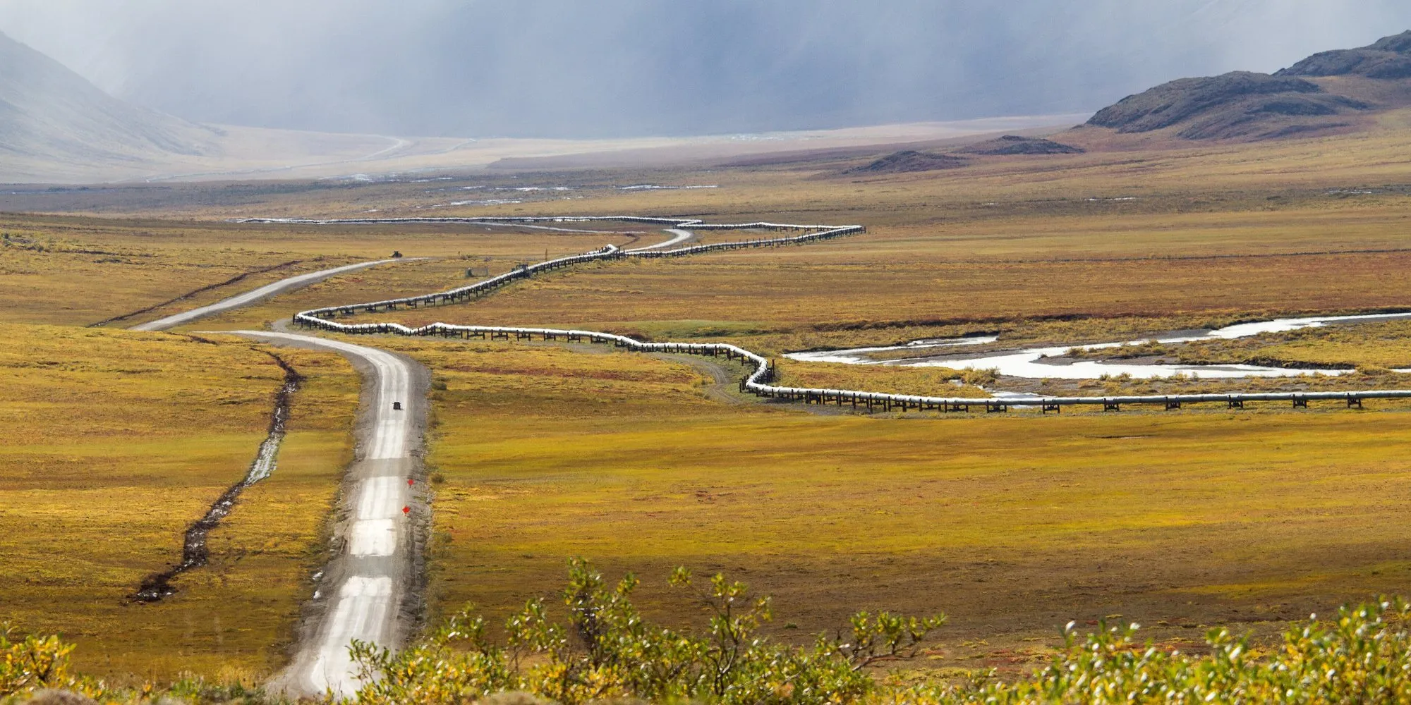
The James W. Dalton Highway was built in 1974 as a haul road for the Trans-Alaska Pipeline, and the pipeline still runs beside it most of the way. From the Elliott Highway north of Fairbanks it crosses the Yukon River and the Arctic Circle, climbs over the Brooks Range at Atigun Pass, and runs out across the North Slope tundra to Deadhorse, the oilfield camp at Prudhoe Bay.
It has been open to the public since 1994. It is mostly gravel, has three places to buy fuel, and no hospital between Fairbanks and Deadhorse. This guide covers what you need to drive it safely.
The route at a glance
Tap a dot for details. Drag and zoom to explore.
The road
| Mile | Place | What’s there |
|---|---|---|
| 0 | Elliott Highway junction | Start of the Dalton, about 84 miles north of Fairbanks |
| 56 | Yukon River crossing | Fuel, food, rooms |
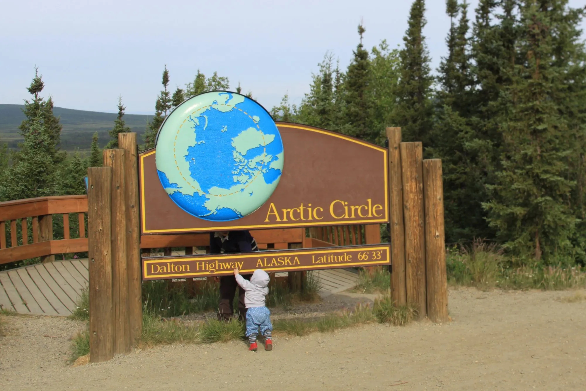
| 115 | Arctic Circle wayside | The sign, a viewing deck, a campground |
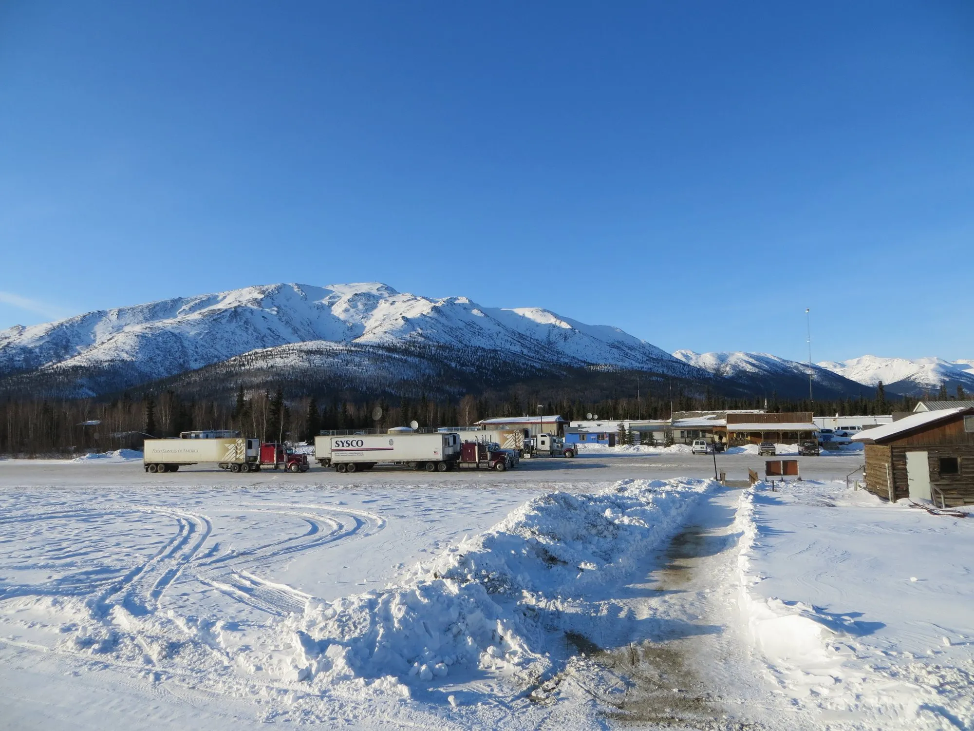
| 175 | Coldfoot | Fuel, food, rooms, visitor centre |
| about 189 | Wiseman | Tiny historic village, just off the road |
| about 244 | Atigun Pass | 4,739 ft, the highest point |
| 414 | Deadhorse | Fuel, hotels, the end of the road |
Most of the road is gravel. Some sections are paved, but expect potholes, washboard surfaces, deep dust when it’s dry and slick mud when it’s wet.
Fuel: the 240-mile gap
There are only three places to buy fuel: the Yukon River crossing, Coldfoot and Deadhorse. From Coldfoot to Deadhorse it’s about 240 miles (388 km) with nothing at all. The road’s maintenance stations and pipeline pump stations offer no public services.
Fill up at every stop and carry spare fuel. Gravel, hills and cold all push consumption up.
Trucks, dust and safety
The Dalton is a working road. Big rigs haul supplies to the oilfields day and night, fast.
- Drive with headlights on, and slow down and pull right when a truck approaches. Gravel thrown up by trucks breaks windscreens.
- Never stop on a hill or a bend. Use pull-outs.
- There’s no hospital between Fairbanks and Deadhorse, about 500 miles. Phone coverage is almost non-existent; carry a satellite messenger or beacon.
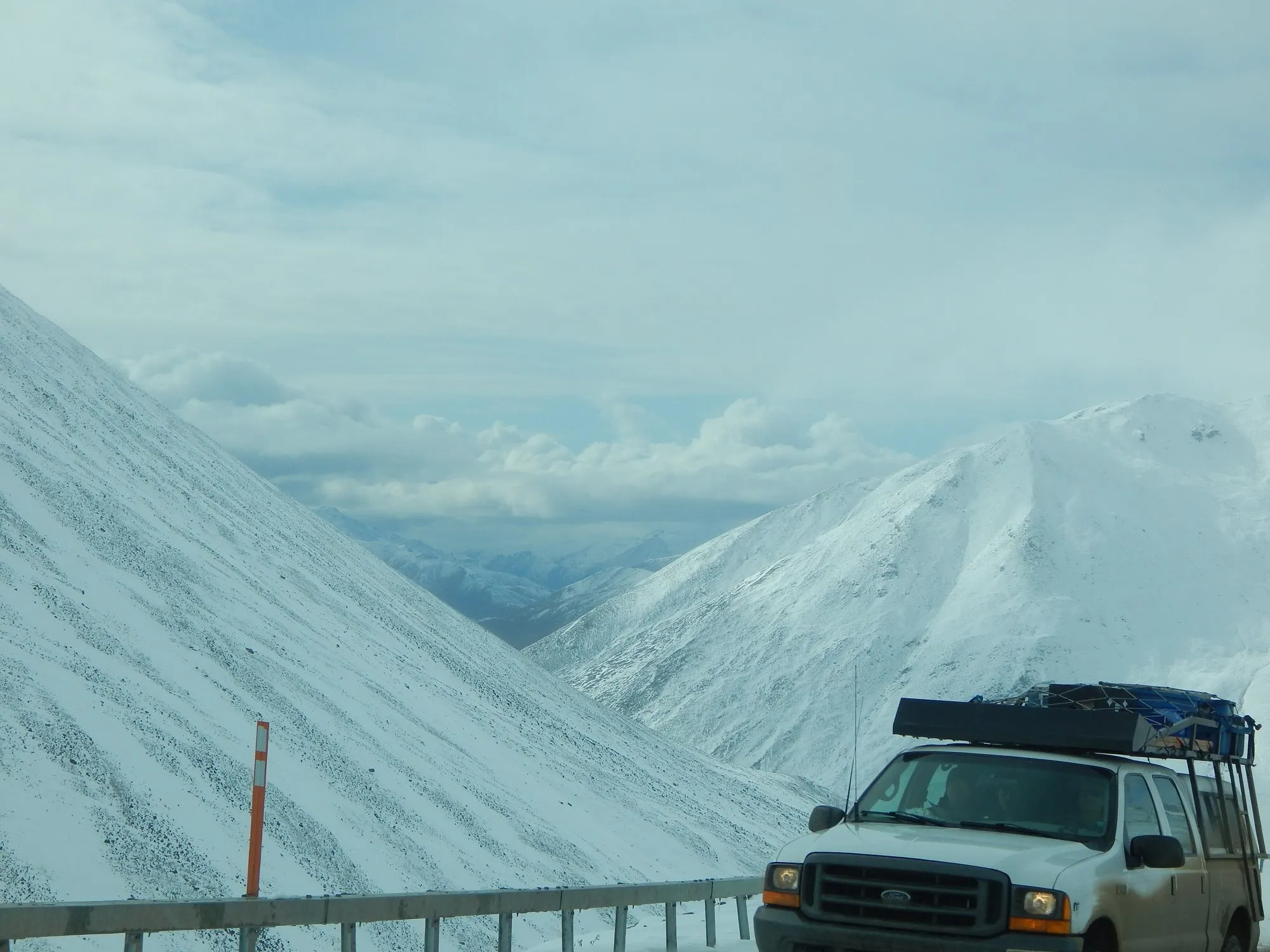
- Carry two full-size spare tyres, tools, food, water and warm clothes, even in summer. Snow can fall at Atigun Pass in any month.
The Arctic Ocean
There’s no public access to the Arctic Ocean from Deadhorse. The shore is inside the oilfield, so to reach the water you must join an authorised tour, booked in advance. Plan this before you drive up, not after you arrive.
Renting a car for it
Most standard rental contracts forbid the Dalton. A few Fairbanks companies rent vehicles set up for it, with extra spare tyres and the right insurance. Book early for summer.
Wildlife
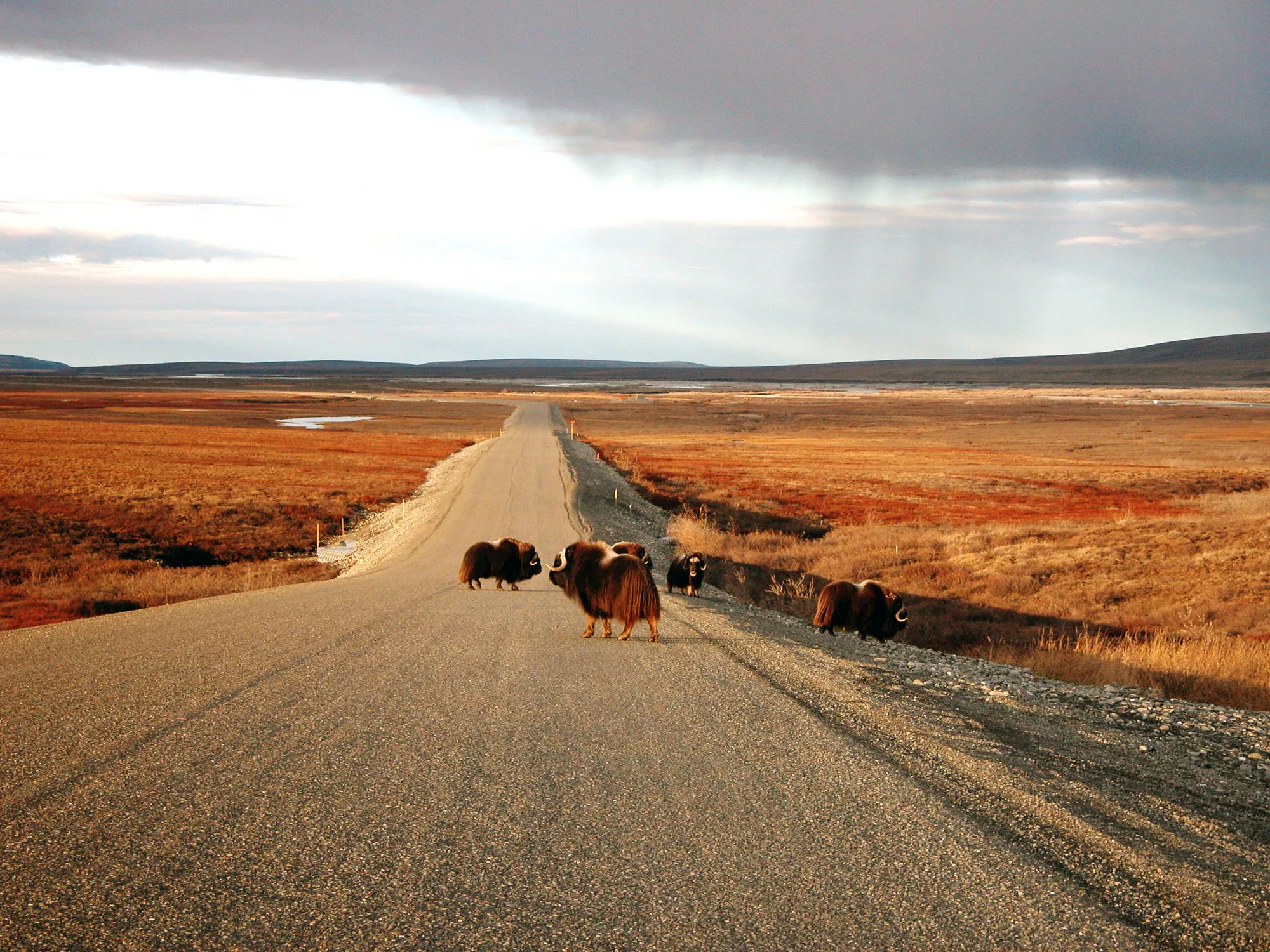
Watch for caribou, moose, muskoxen, Dall sheep and bears along the road, and even polar bears near Deadhorse. Never feed or approach them, and keep food sealed in your vehicle at night.
When to go
June to August is the main season: long days (the sun barely sets north of the Arctic Circle in midsummer), open campgrounds and the fewest closures. Late August brings autumn colour on the tundra. In winter the road stays open for the trucks, but temperatures far below zero, short days and blowing snow make it a serious expedition.
Every leg
Measured with Google Maps on 12 October 2026. The driving times assume good conditions; on gravel, in dust, rain or snow, allow far longer.
| Leg | Distance | Driving | From start |
|---|---|---|---|
| Fairbanks→Start of the Dalton | 129 km | 1 h 48 | 129 km |
| Start of the Dalton→Yukon River | 88 km | 1 h 23 | 217 km |
| Yukon River→Coldfoot | 191 km | 2 h 52 | 408 km |
| Coldfoot→Deadhorse | 388 km | 5 h 25 | 796 km |
| Total | 796 km | 11 h 28 |
Free stops on this route
Places that cost nothing to visit. Rules for staying overnight are in the guide above.
- Free stop
Arctic Circle wayside
Mile 115. The famous sign, and a viewing deck.
- Free stop
Atigun Pass
4,739 ft, on the Continental Divide. Steep grades.
Along the way
Sources
We last checked this guide on 12 Oct 2026. Roads, fees and rules change. If something is out of date, tell us at support@nexaround.com.

.jpg)


