The Gibb River Road was built to truck cattle out of the Kimberley, one of the emptiest corners of Australia. Today it's one of the country's great 4WD trips: almost 660 km of red gravel from Derby to the Great Northern Highway near Kununurra, with gorges and swimming holes just off the road, cattle stations to stay on, and rivers to drive through.
It only opens in the dry season, it's hard on vehicles, and fuel can be hundreds of kilometres apart. This guide covers the route, the season, fuel and the gorges worth the detours.
The route at a glance
Tap a dot for details. Drag and zoom to explore.
The route
The Gibb runs roughly east–west across the Kimberley, about 660 km from Derby to the Great Northern Highway between Kununurra and Wyndham. We measured Derby to Kununurra at 720 km.
- Derby to Imintji: the western end, with the big gorges of the King Leopold Ranges (Windjana, Bell, Lennard, Galvans) on short side roads.
- Imintji to Mount Barnett: the station country, with Manning Gorge behind the Mount Barnett Roadhouse.
- Mount Barnett to the Pentecost: the longest, emptiest stretch. The Kalumburu Road turns north to Drysdale River Station and the remote Mitchell Plateau.
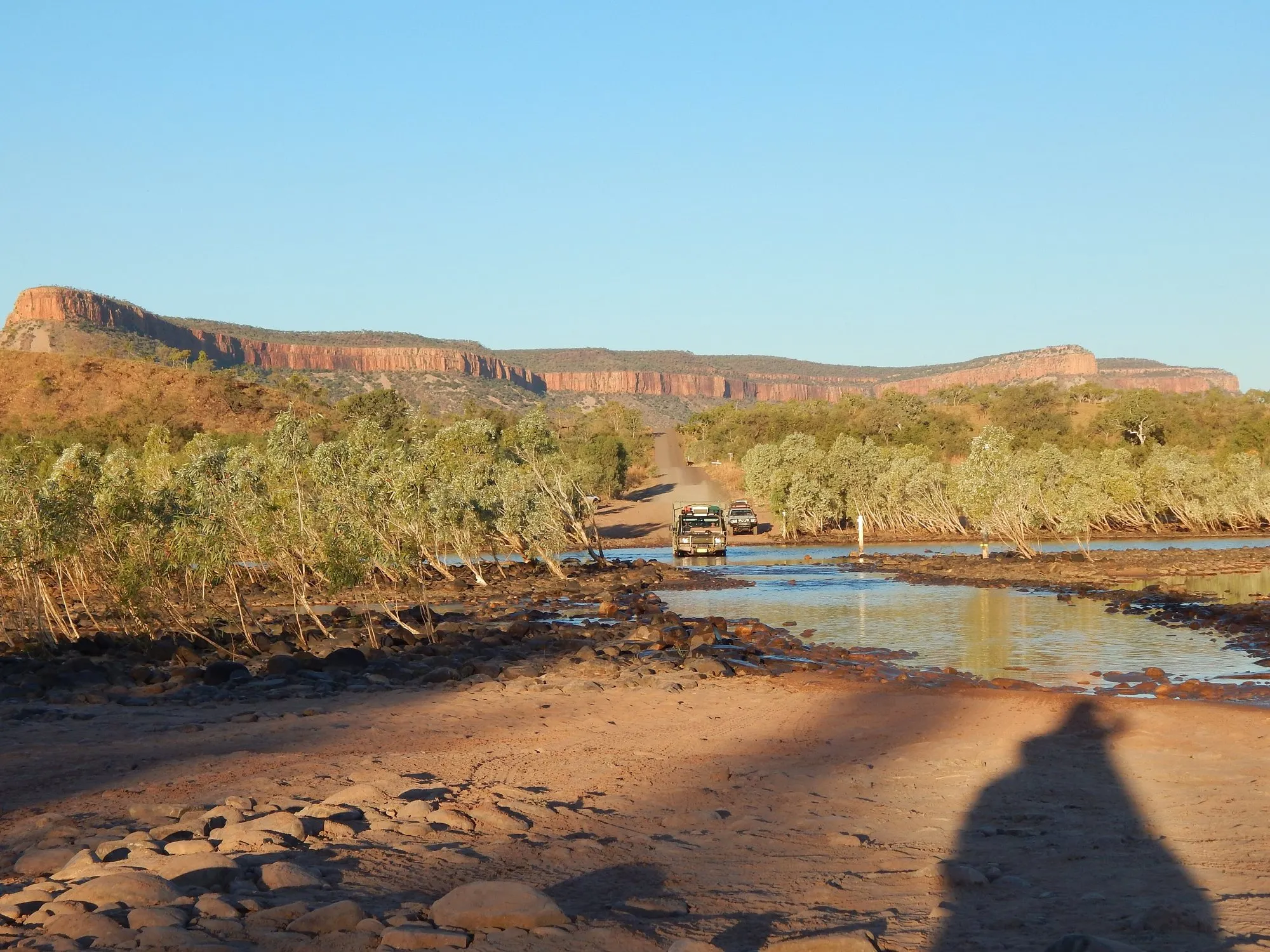
- The Pentecost to Kununurra: the famous river crossing under the Cockburn Ranges, then El Questro and Emma Gorge, and back onto bitumen.
Road and vehicle
Since the mid-2000s the Gibb has been a formed gravel road, with a few short sealed sections. A 4WD is strongly recommended: river crossings and heavy corrugations break ordinary cars and their tyres. Before you go:
- Carry two full-size spare tyres, a puncture repair kit and a compressor. Lower your tyre pressures on corrugations.
- Pack recovery gear, water, food for extra days, and a satellite messenger or beacon. There’s little or no phone signal.
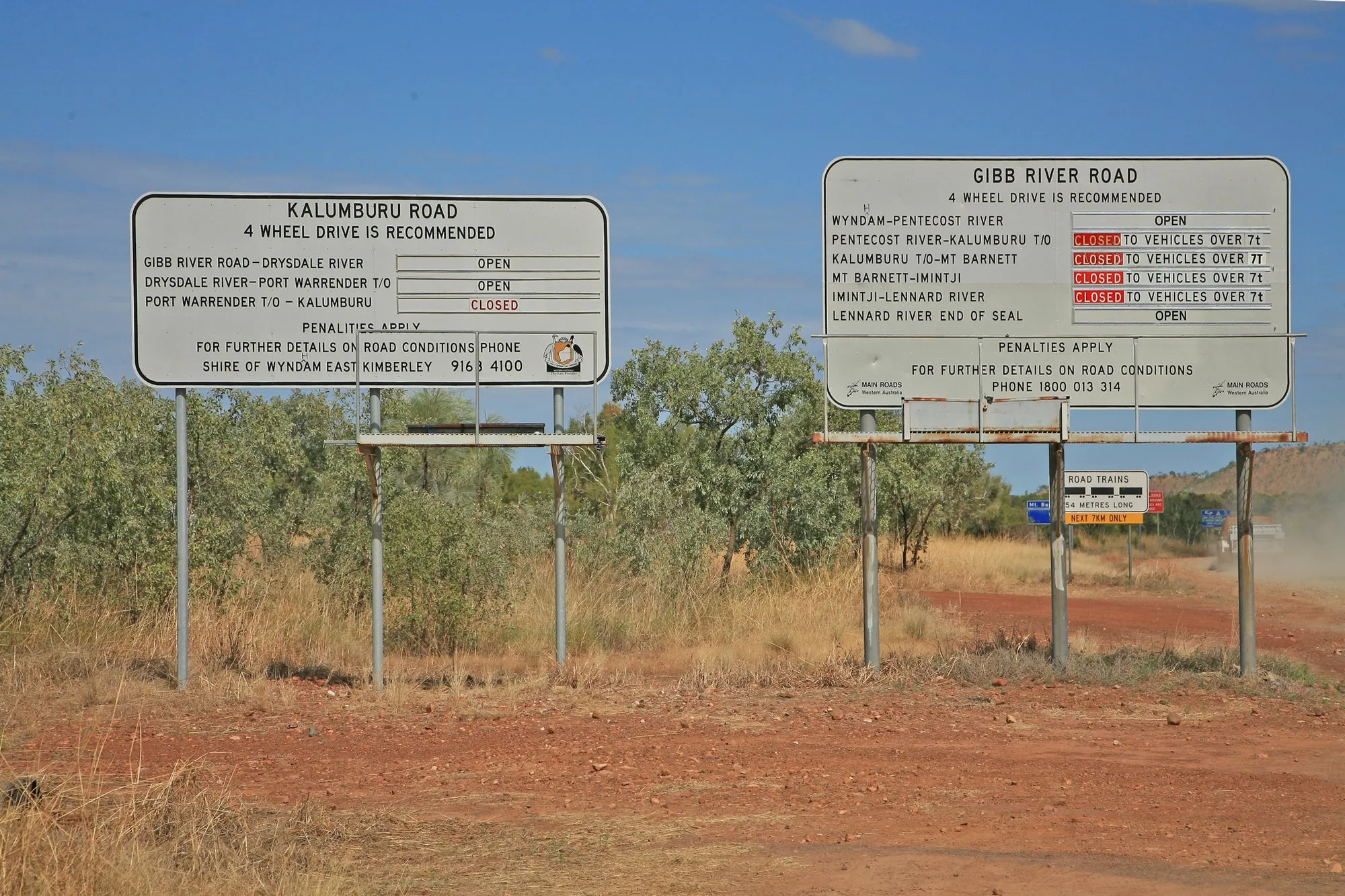
- Check road status before each section. Roads close after rain, even outside the wet season. The status boards at junctions and Main Roads WA’s road-conditions site are the authority.
The season
The Gibb is only open in the dry season, roughly May to October, and only after it has been graded and declared open. In the wet, typically November to March or later, floods close it, sometimes for months. Early in the dry (May–June), the road is usually freshly graded and the waterfalls still flow; by September the corrugations are usually at their worst and the heat is building.
Fuel
Fuel stops are few, and not all of them sell petrol:
- Imintji: store and campground; check what fuel it has before relying on it.
- Mount Barnett Roadhouse: petrol and diesel.
- Drysdale River Station: about 60 km north up the Kalumburu Road.
- El Questro: near the eastern end.
The longest gap, Mount Barnett to El Questro, is about 330 km, more once you add side trips to the gorges. Carry extra fuel, especially in a petrol vehicle.
Gorges worth the detours
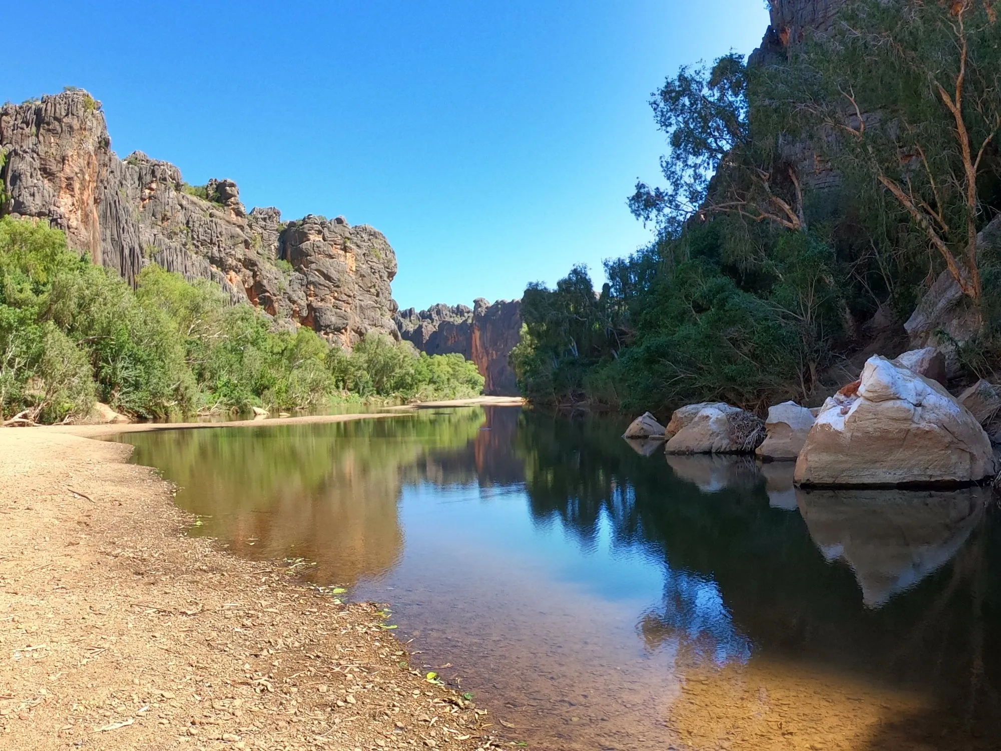
- Windjana Gorge: a gorge cut through a fossil reef, where freshwater crocodiles sun on the banks.
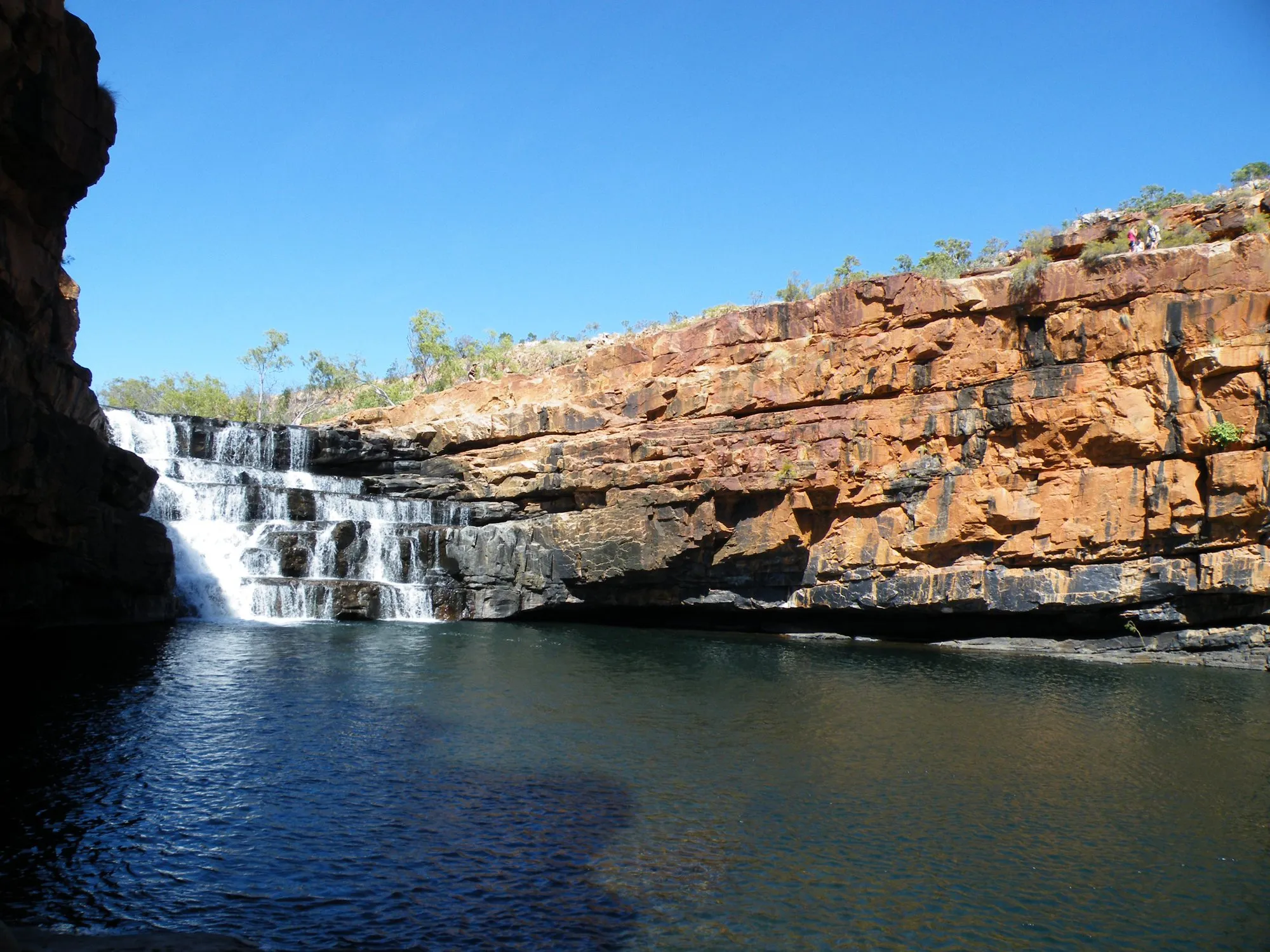
- Bell Gorge: a waterfall dropping into a deep swimming hole, a short walk from the car park.
- Manning Gorge: swim (or float your bag) across the river at Mount Barnett, then walk to the falls.
- El Questro and Emma Gorge: gorges, hot springs and a tall, narrow plunge pool, inside a private wilderness park that needs a permit.
National park gorges charge an entry fee, and station properties charge for camping and access.
Crocodiles
Saltwater crocodiles live in the Pentecost and other big rivers. Never wade across a river to check its depth, never swim where you’re not sure it’s safe, and camp well back from the water. Freshwater crocodiles, like those at Windjana, are shy, but leave them alone.
Where to sleep
Cattle stations along the road offer camping, cabins and meals: Mount Hart, Mount Elizabeth, Ellenbrae, Drysdale River, Home Valley, El Questro and others, some well off the main road. There are also bush camps at the national park gorges. In peak season, book ahead.
Every leg
Measured with Google Maps on 12 October 2026. Times assume a good, freshly graded road; corrugations and river crossings can double them.
| Leg | Distance | Driving | From start |
|---|---|---|---|
| Derby→Imintji | 227 km | 2 h 57 | 227 km |
| Imintji→Mount Barnett Roadhouse | 78 km | 1 h 08 | 305 km |
| Mount Barnett Roadhouse→Ellenbrae Station | 182 km | 2 h 56 | 487 km |
| Ellenbrae Station→Home Valley Station | 112 km | 1 h 56 | 599 km |
| Home Valley Station→Kununurra | 121 km | 1 h 31 | 720 km |
| Total | 720 km | 10 h 28 |
Free stops on this route
Places that cost nothing to visit. Rules for staying overnight are in the guide above.
- Free stop
Pentecost River crossing
The big river crossing. Saltwater crocodiles: never wade.
Along the way
Sources
We last checked this guide on 12 Oct 2026. Roads, fees and rules change. If something is out of date, tell us at support@nexaround.com.