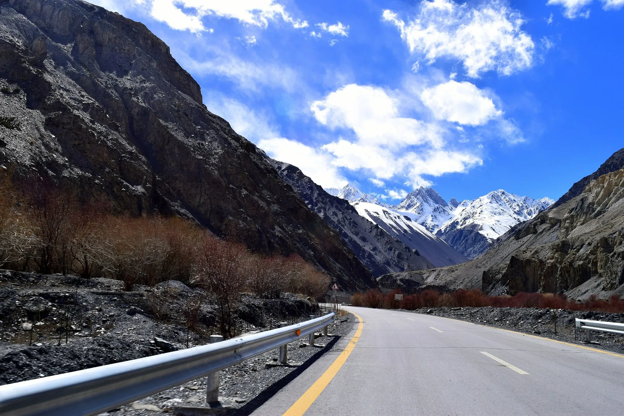
The Karakoram Highway climbs from the plains of northern Pakistan through some of the highest mountains on Earth to the Khunjerab Pass on the Chinese border, at about 4,714 m one of the highest paved roads in the world. Along the way are views of Nanga Parbat and Rakaposhi, the Hunza valley, the Passu Cones, and a turquoise lake created by a landslide in 2010.
It was built between 1962 and 1979, and about a thousand workers died building it. This guide covers the route, how to avoid the section governments advise against, and when the border is open.
The route at a glance
Tap a dot for details. Drag and zoom to explore.
Read this first: safety advice
As of September 2026, the UK Foreign Office advises against all travel on the Karakoram Highway between Mansehra and Chilas via Battagram, Besham, Dasu and Sazin, up to the junction with the N15. Other governments have their own advice; check yours before you book, and check your insurance too.
In summer there’s a way round that stretch: from Mansehra, take the N15 through Naran and over the Babusar Pass, which rejoins the KKH near Chilas. That’s the route measured on this page. The Babusar Pass is high and only open in summer, roughly June to September, depending on snow.
Gilgit-Baltistan, including Hunza, isn’t covered by that warning, but conditions change. Check again close to your trip.
The route
| Stretch | What’s there |
|---|---|
| Islamabad → Mansehra | Out of the plains into the hills. |
| Mansehra → Naran → Babusar Pass | Up the green Kaghan valley to the high Babusar Pass. |
| Babusar → Chilas → Gilgit | Down to the Indus and back onto the KKH. Near the Raikot Bridge and Jaglot, the road gives views of Nanga Parbat (8,126 m); jeeps from Raikot Bridge go up towards Fairy Meadows. |
| Gilgit → Karimabad (Hunza) | Past Rakaposhi (7,788 m) to the Hunza valley and its old forts. |
| Karimabad → Sost | Through the tunnels along Attabad Lake, past the Passu Cones. |
| Sost → Khunjerab Pass | Up through Khunjerab National Park to the border, at about 4,714 m. |
Attabad Lake
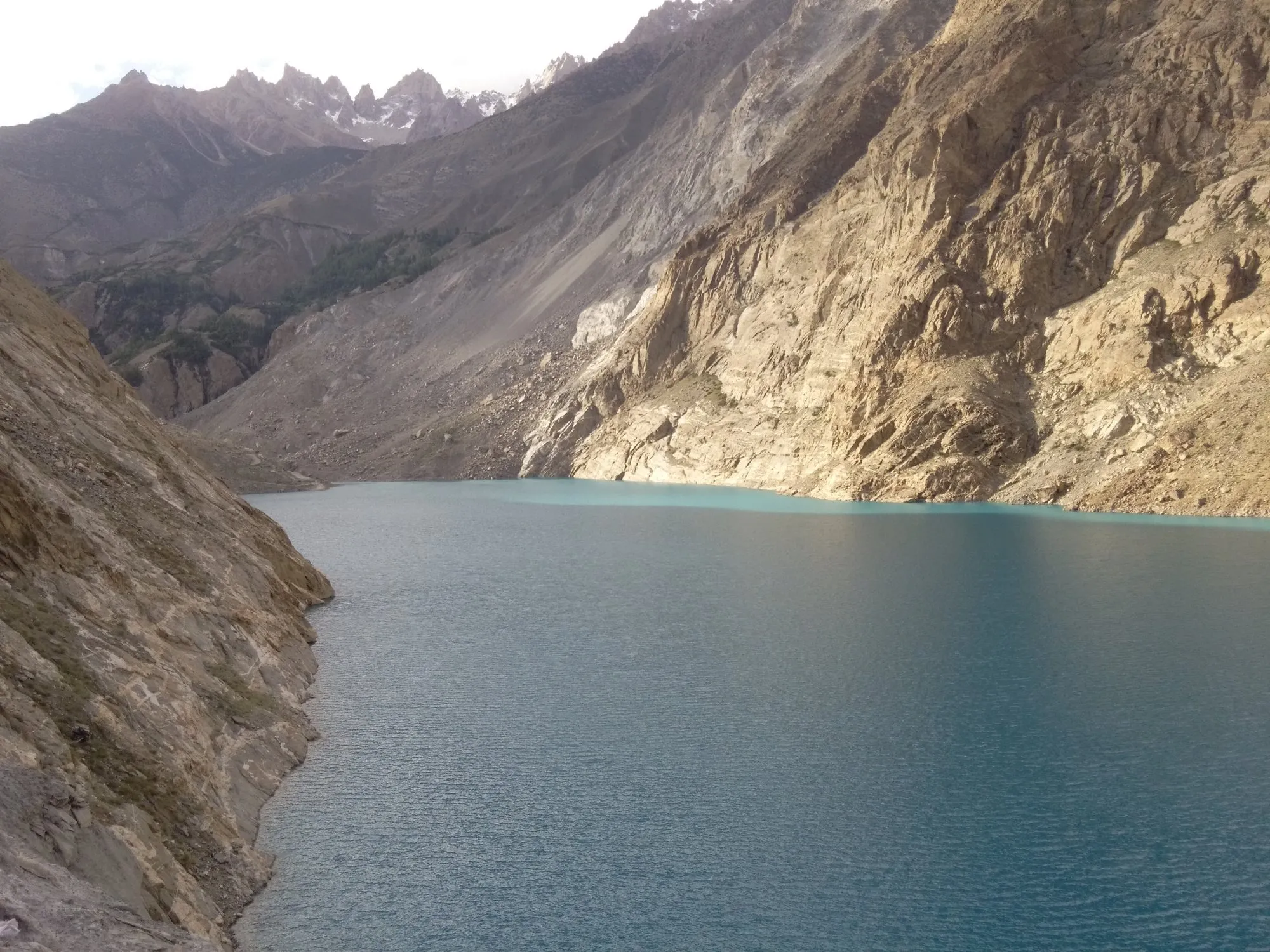
In January 2010 a huge landslide blocked the Hunza River about 15 km upstream from Karimabad. The river backed up into a long turquoise lake and drowned more than 20 km of the highway. For years traffic crossed by boat, until a new alignment with five tunnels opened in September 2015. Today you can drive alongside the lake, stop at the viewpoints, and take a boat out on it.
Hunza
Karimabad is the base for the Hunza valley, with its two old forts, Baltit and Altit, orchards, and views of Rakaposhi and the peaks around Ultar. Further north, Gulmit and Passu sit under the jagged Passu Cones, and near Passu the famous swaying Hussaini suspension bridge crosses the Hunza River.
The Khunjerab Pass and China
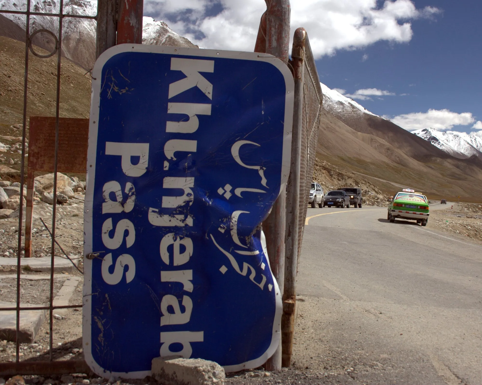
The road ends (for Pakistan) at the Khunjerab Pass, on the border with China. Foreigners pay an entry fee for Khunjerab National Park on the way up.
- To drive up and back from Sost, no Chinese visa is needed.
- To cross into China you need a Chinese visa arranged in advance, and the border is traditionally open to travellers only from spring to late autumn; it closes in winter snow. Check the current dates before you plan around it.
The altitude at the pass is about 4,700 m. If you’re coming straight up from Hunza, take it slowly, drink plenty, and don’t stay long if you feel unwell.
When to go
Late spring to early autumn. Hunza is beautiful in April (apricot blossom) and October (autumn colours). The Babusar Pass and Khunjerab are only reliably open in summer. July to September brings the highest risk of landslides on the highway, so build spare days into your plans.
Getting around
- Hire a car with a local driver in Islamabad or Gilgit: the most common way for visitors, and the safest on these roads.
- Fly Islamabad–Gilgit to save two days, if the weather lets the plane in: flights are often cancelled.
- Public buses and minibuses run between the main towns.
Every leg
Measured with Google Maps on 12 October 2026 via the Babusar Pass (open in summer only). Landslides and checkpoints can add hours to any leg.
| Leg | Distance | Driving | From start |
|---|---|---|---|
| Islamabad→Mansehra | 134 km | 2 h 25 | 134 km |
| Mansehra→Naran | 121 km | 3 h 50 | 255 km |
| Naran→Babusar Pass | 65 km | 2 h 18 | 320 km |
| Babusar Pass→Chilas | 49 km | 1 h 21 | 369 km |
| Chilas→Gilgit | 134 km | 2 h 54 | 503 km |
| Gilgit→Karimabad (Hunza) | 100 km | 2 h 17 | 603 km |
| Karimabad (Hunza)→Sost | 92 km | 2 h 03 | 695 km |
| Sost→Khunjerab Pass | 88 km | 1 h 37 | 783 km |
| Total | 783 km | 18 h 45 |
Free stops on this route
Places that cost nothing to visit. Rules for staying overnight are in the guide above.
- Free stop
Babusar Pass
High pass on the N15, open in summer only.
- Free stop
Attabad Lake
Lake formed by a 2010 landslide. Tunnels since 2015.
- Free stop
Passu Cones
Viewpoint over the jagged Passu peaks.
Along the way
Sources
We last checked this guide on 12 Oct 2026. Roads, fees and rules change. If something is out of date, tell us at support@nexaround.com.