
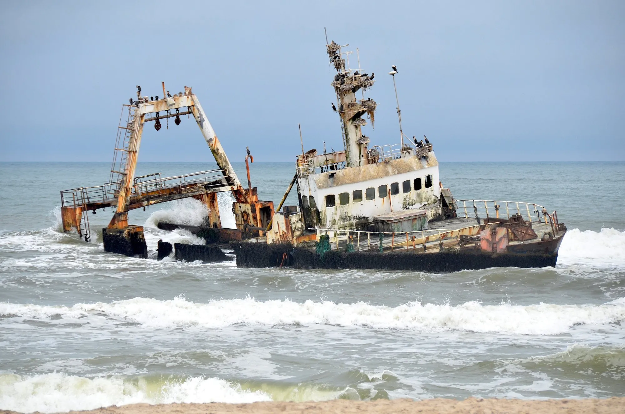
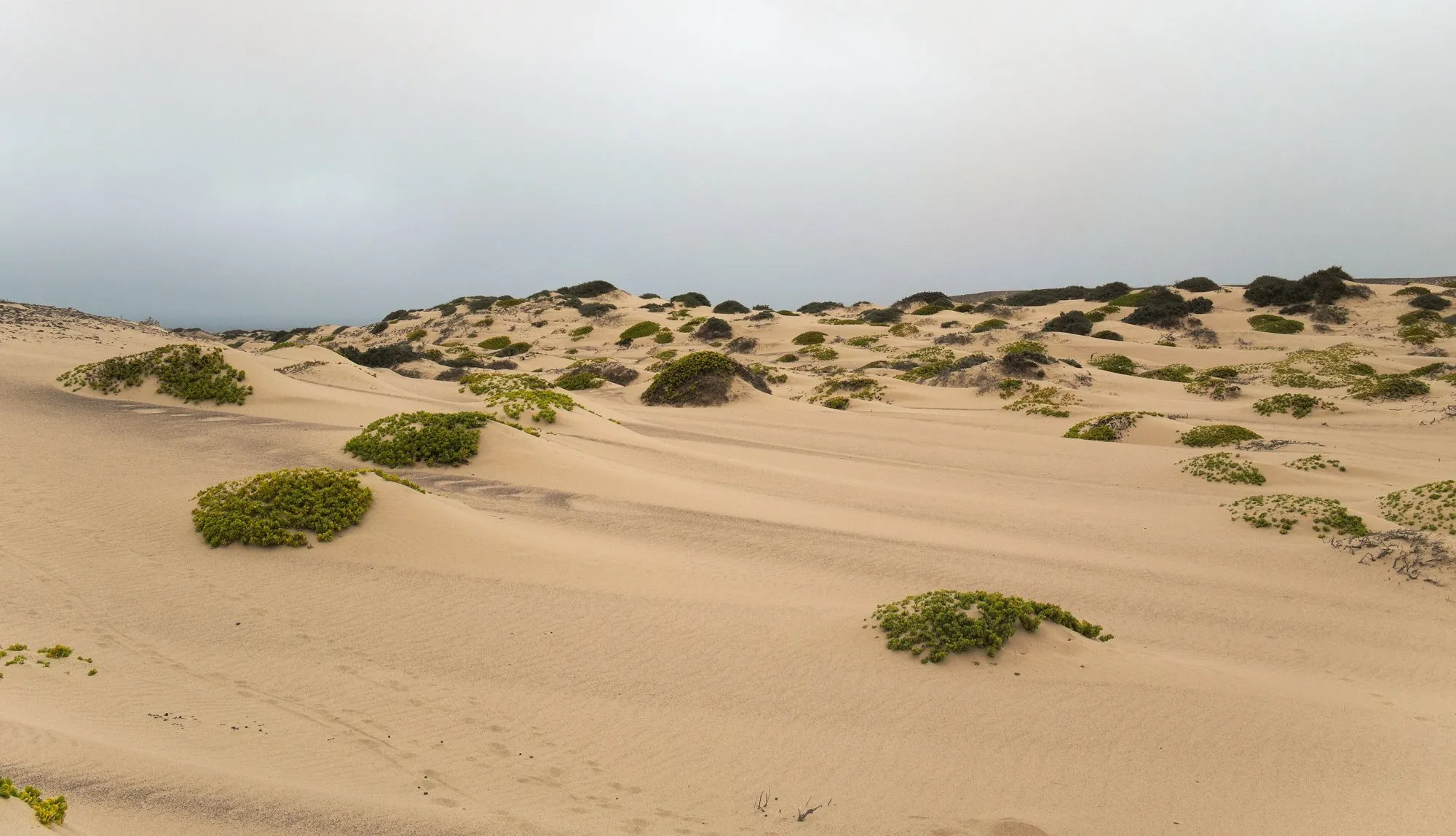
Namibia's Skeleton Coast runs about 500 km from the Swakop River to the Kunene on the Angolan border: a coast of cold fog, dunes running into the Atlantic, and the wrecks of ships that never made it. The San called it "the land God made in anger". Inland lies Kaokoland, a land of bare mountains, dry riverbeds with desert-adapted elephants, and Himba villages, ending at Epupa Falls on the Kunene.
This route runs 907 km from Swakopmund up the coast and inland to Epupa. It's all gravel and salt roads after the first stretch, the park gates enforce strict times, and you need to plan fuel. This guide covers how it works.
The route at a glance
Tap a dot for details. Drag and zoom to explore.
The route
- Swakopmund to Cape Cross: up the coast on a salt road past Henties Bay and the wreck of the Zeila, lying in the surf just offshore.
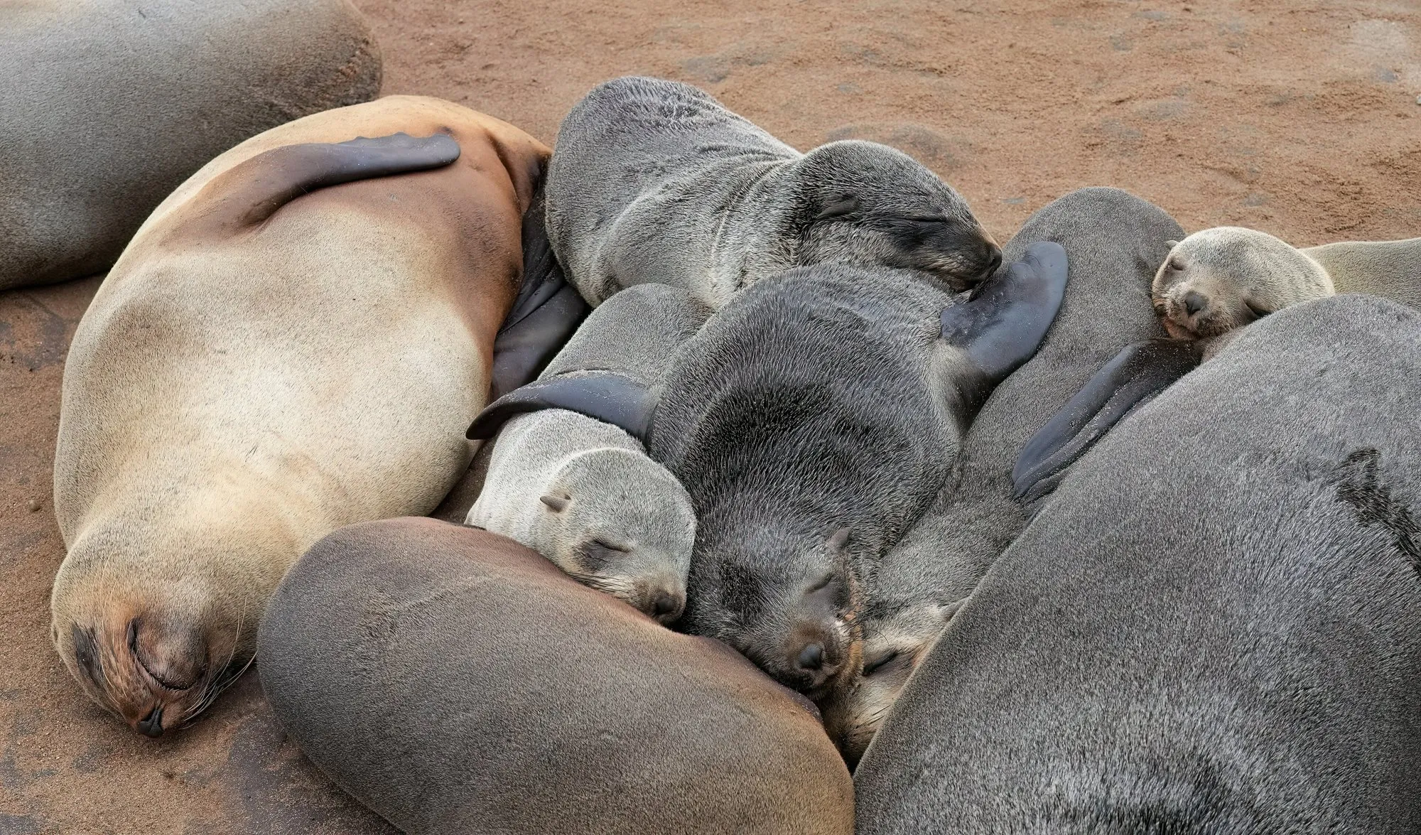
- Cape Cross: a colony of Cape fur seals so large you’ll smell it before you see it. There’s an entry fee. The cape takes its name from a stone cross set up here by Portuguese navigator Diogo Cão in 1486.
- Through the park: enter Skeleton Coast National Park at the Ugab Gate and drive north on gravel and salt roads past the fishing camp of Torra Bay, then turn inland to leave by the Springbokwasser Gate.
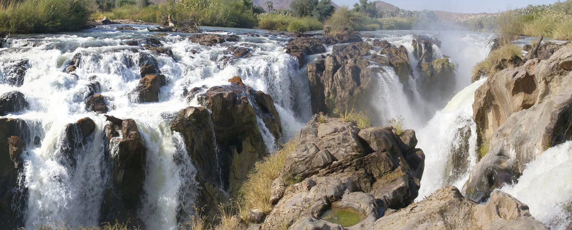
- Into Kaokoland: through Palmwag and Sesfontein, desert elephant country, to Opuwo, the region’s main town, and on to Epupa Falls on the Kunene River, with Angola on the far bank.
Park permits and gate times
The southern part of Skeleton Coast National Park is open to self-drivers; the northern half is a wilderness area, closed except on fly-in safaris.
- Transit between the Ugab and Springbokwasser gates needs a permit, issued at the gates. A transit permit doesn’t let you stay at Torra Bay or Terrace Bay; that needs a booking.
- Gate times are strict. Gates open in the morning, stop letting people in by mid-afternoon, and close in the early evening. If you’re transiting, you must enter and leave the same day. Sources disagree on the exact cut-off times, so check the current hours before you go, and arrive at the first gate early.
Driving it
- All gravel and salt roads after Swakopmund. Salt roads are smooth when dry but slippery when the fog makes them damp.
- Fog rolls in off the cold Benguela current on many mornings, cutting visibility to almost nothing. Drive slowly with lights on.
- Fuel: fill up in Swakopmund and at every chance after that. Carry spare fuel, water and two spare tyres.
- No signal on most of the route. Carry a satellite messenger or beacon.
Wildlife
The dry riverbeds inland are home to desert-adapted elephants, as well as lions, giraffes, oryx (gemsbok) and springbok. On the coast, look for brown hyenas and jackals around the seal colonies. Keep your distance from elephants, and never get between a mother and her calf.
Visiting the Himba
Kaokoland is home to the Himba, semi-nomadic herders known for the red ochre paste the women wear. Many visitors want to meet them; please do it respectfully:
- Go with a local guide from the community, so that the money goes to the village.
- Ask before taking any photograph, and accept a no.
- Bring useful gifts if your guide suggests it (food staples rather than sweets), and never treat a home as a tourist attraction.
When to go
The coast is cool and often foggy all year. Inland, Kaokoland is very hot in summer, and summer rains (roughly November to April) can flood the riverbeds and cut roads. Most visitors go in the dry winter months, May to October.
Where to sleep
Book ahead: options are few. There are guesthouses and campsites in Swakopmund and Henties Bay; Terrace Bay resort and the Torra Bay campsite inside the park (Torra Bay opens only in the summer holidays); lodges and community campsites at Palmwag, Sesfontein and Opuwo; and riverside camps at Epupa.
Every leg
Measured with Google Maps on 12 October 2026. Gravel and salt roads: the times are optimistic.
| Leg | Distance | Driving | From start |
|---|---|---|---|
| Swakopmund→Cape Cross | 130 km | 1 h 27 | 130 km |
| Cape Cross→Ugab Gate | 81 km | 59 min | 211 km |
| Ugab Gate→Torra Bay | 113 km | 1 h 31 | 324 km |
| Torra Bay→Springbokwasser Gate | 49 km | 40 min | 373 km |
| Springbokwasser Gate→Palmwag | 93 km | 1 h 19 | 466 km |
| Palmwag→Sesfontein | 114 km | 1 h 39 | 580 km |
| Sesfontein→Opuwo | 148 km | 2 h 19 | 728 km |
| Opuwo→Epupa Falls | 179 km | 2 h 53 | 907 km |
| Total | 907 km | 12 h 47 |
Free stops on this route
Places that cost nothing to visit. Rules for staying overnight are in the guide above.
- Free stop
Zeila shipwreck
Wreck in the surf near Henties Bay, seen from the beach.
- Free stop
Epupa Falls
Falls on the Kunene, the Angolan border.
Along the way
Sources
We last checked this guide on 12 Oct 2026. Roads, fees and rules change. If something is out of date, tell us at support@nexaround.com.


.jpg)