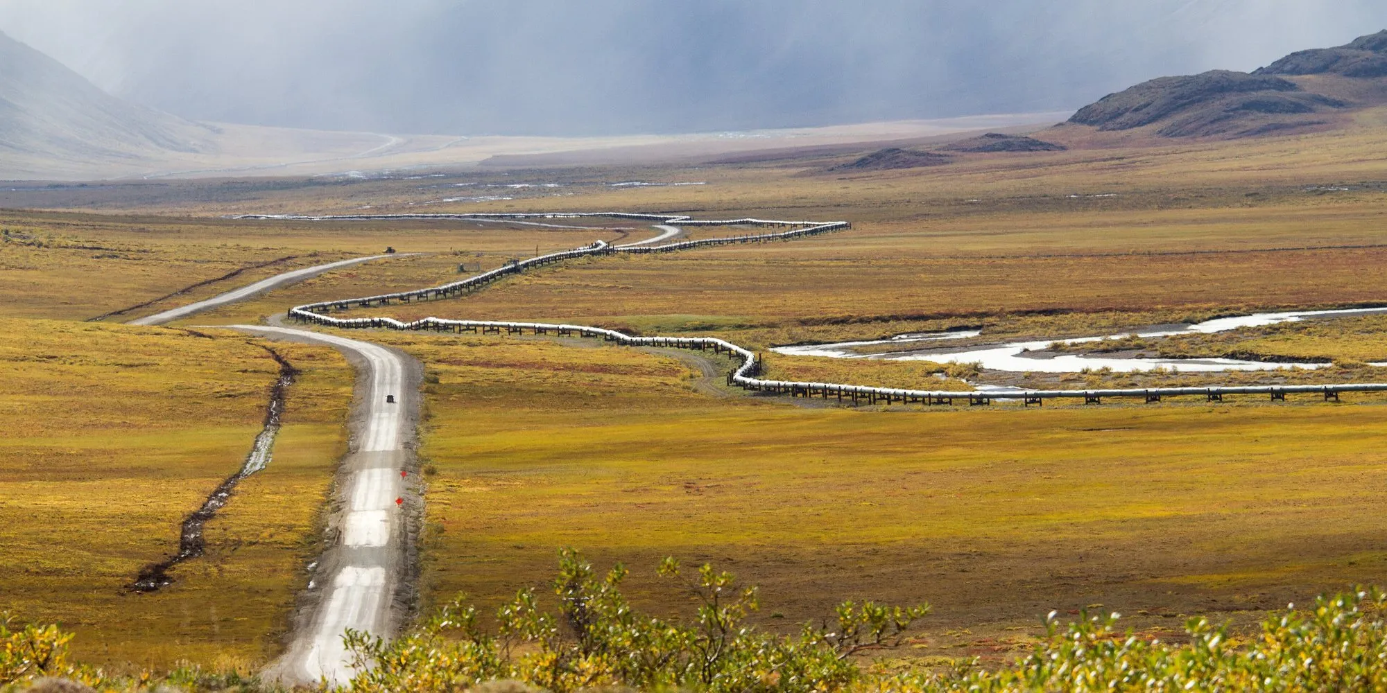
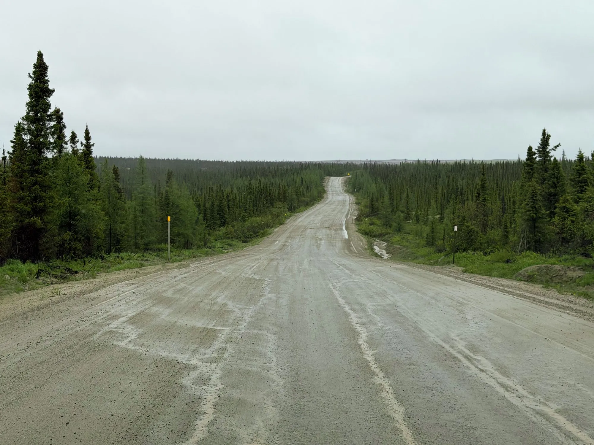
The Trans-Labrador Highway crosses one of the emptiest parts of North America: 1,149 km of boreal forest, lakes and rivers between Labrador City and the Strait of Belle Isle, with a few company towns and fishing villages along the way. You reach it from Quebec on Route 389, a long road north from Baie-Comeau past huge hydroelectric dams.
The whole Labrador section has been paved since July 2022, but gaps between services still run to 400 km, and phone signal is rare. This guide covers the full route from Baie-Comeau to Blanc-Sablon and how to drive it safely.
The route at a glance
Tap a dot for details. Drag and zoom to explore.
The route
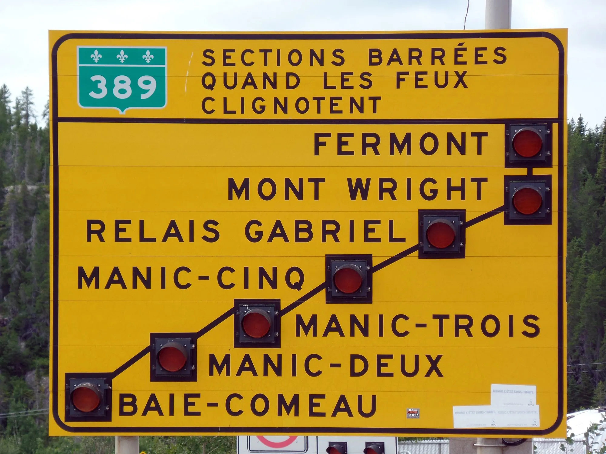
Route 389, Quebec (Baie-Comeau to the Labrador border, about 565 km). North from the St Lawrence past the huge Manic-5 dam, through hundreds of kilometres of forest to the mining towns of Fermont and, just over the border, Labrador City. Parts are still gravel and parts are under reconstruction; some sections close at times, with flashing lights at the start of the road warning you.
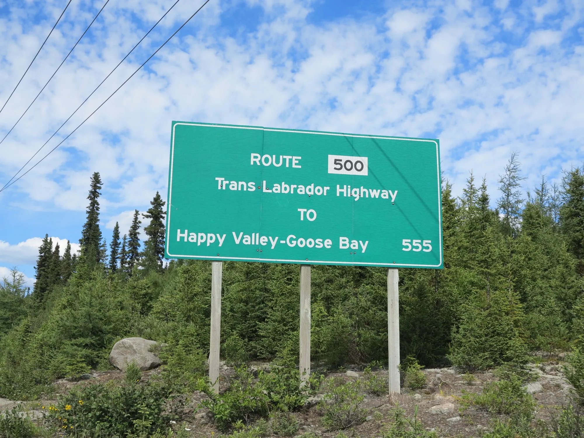
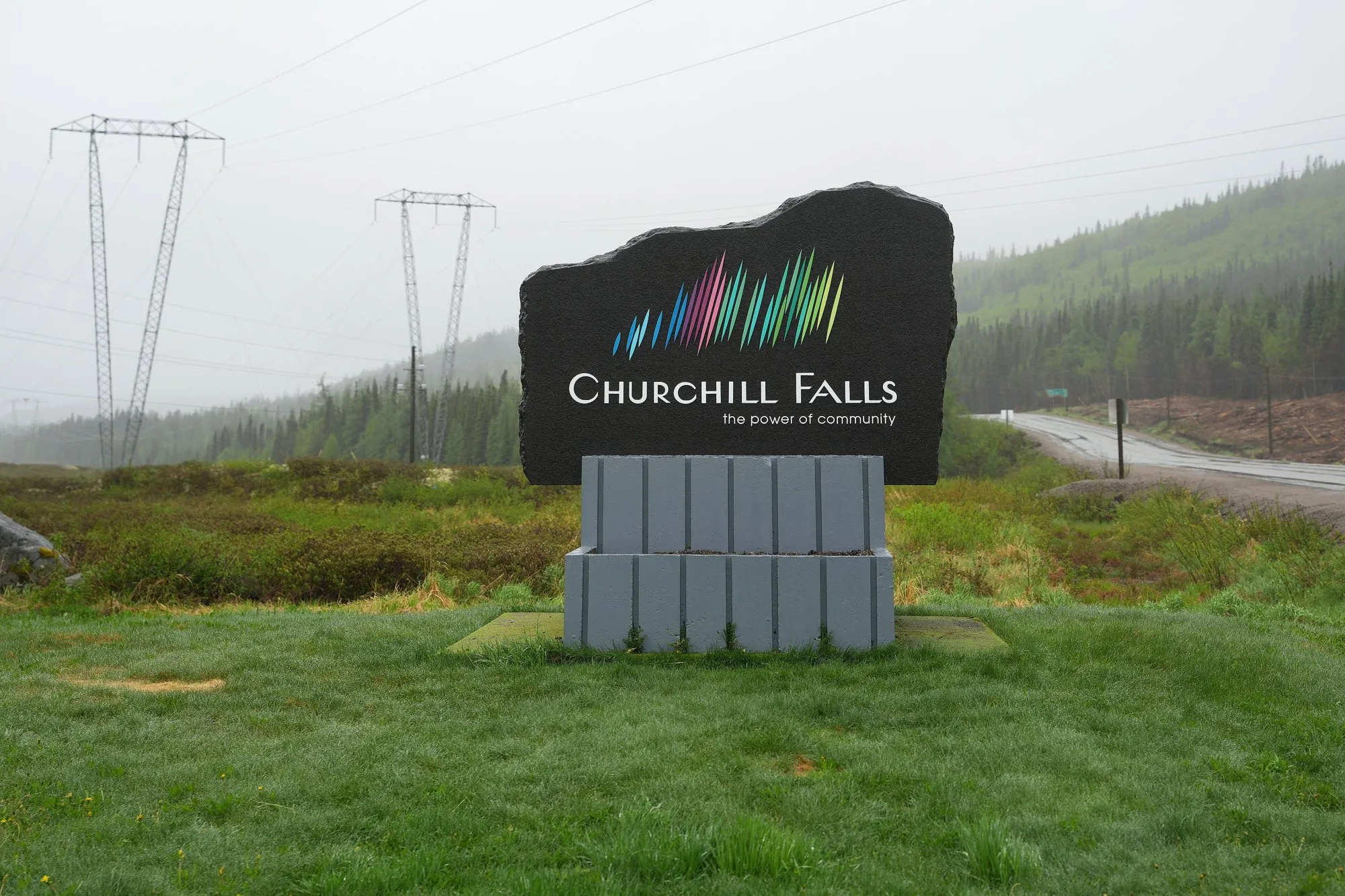
Route 500, Labrador (Labrador City to Happy Valley-Goose Bay, 543 km). Paved. Churchill Falls, a company town built for one of the world’s largest hydro stations, is the only stop between, 243 km in.
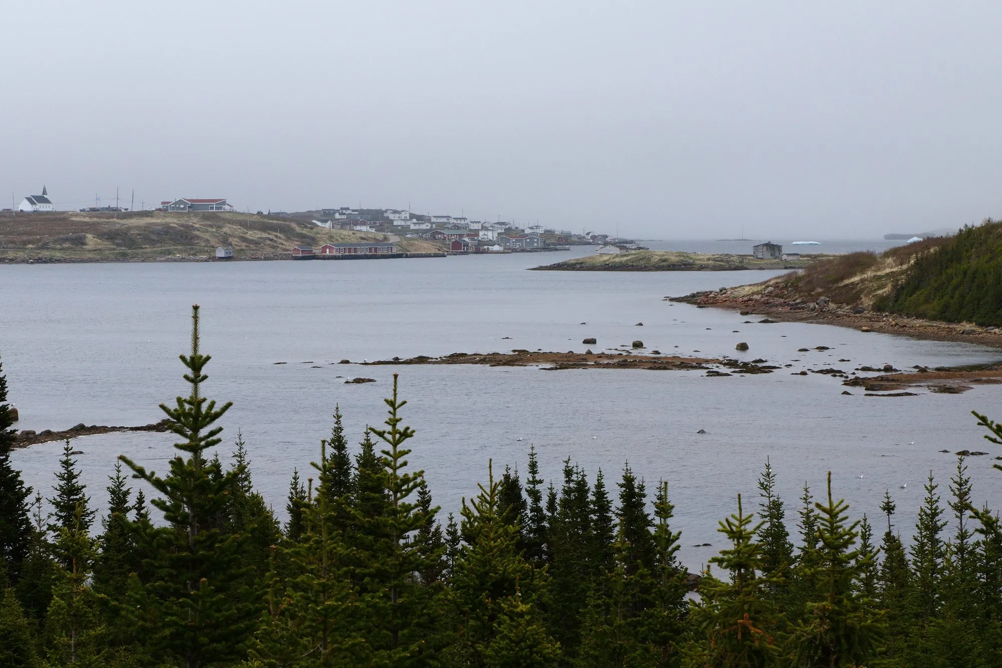
Route 510, Labrador (Happy Valley-Goose Bay to the Quebec border near Blanc-Sablon, about 606 km). Paved since 2022, through the wildest stretch: about 400 km from Happy Valley-Goose Bay to Port Hope Simpson with no full services, then down the coast past Mary’s Harbour and Red Bay to L’Anse-au-Clair and Blanc-Sablon.
From Blanc-Sablon, a ferry crosses the Strait of Belle Isle to St. Barbe on Newfoundland, so you can make a loop rather than drive back.
Phone signal and satellite phones
Mobile coverage is limited to the towns. Newfoundland and Labrador runs a satellite phone loan service for drivers on Routes 500 and 510: pick up a phone at one town and drop it at another. Check the provincial government’s website for current pick-up and drop-off points before you set off.
Fuel and services
- Fill up at every town: Labrador City, Churchill Falls, Happy Valley-Goose Bay, Port Hope Simpson.
- The longest gaps are 287 km (Churchill Falls to Goose Bay) and about 400 km (Goose Bay to Port Hope Simpson). Carry spare fuel, food, water and warm clothes.
- Carry a full-size spare tyre, especially for the gravel on Route 389.
Along the way
- Manic-5 (Daniel-Johnson Dam): an enormous multiple-arch concrete dam right beside Route 389.
- Churchill Falls: the town exists to run the underground hydroelectric station on the Churchill River.
- Red Bay: in the 16th century, Basque whalers came here every summer. The Red Bay Basque Whaling Station is now a UNESCO World Heritage Site, with a visitor centre and the remains of the whaling stations.
- Point Amour Lighthouse: a tall stone lighthouse above the Strait of Belle Isle near L’Anse-Amour.
Wildlife
Watch for moose on the road, especially at dawn and dusk. They’re big enough to write off a car and its passengers. Black bears and caribou live in the region too.
When to go
June to September. Summer brings long days and open services, but also black flies and mosquitoes; carry repellent and a head net. Winter driving here means extreme cold, snowstorms and very short days, and is only for experienced, well-equipped drivers.
Every leg
Measured with Google Maps on 12 October 2026. Route 389 includes gravel sections and road works; allow extra time.
| Leg | Distance | Driving | From start |
|---|---|---|---|
| Baie-Comeau→Fermont | 565 km | 6 h 52 | 565 km |
| Fermont→Labrador City | 28 km | 24 min | 593 km |
| Labrador City→Churchill Falls | 243 km | 2 h 34 | 836 km |
| Churchill Falls→Happy Valley-Goose Bay | 287 km | 2 h 58 | 1,123 km |
| Happy Valley-Goose Bay→Port Hope Simpson | 404 km | 4 h 06 | 1,527 km |
| Port Hope Simpson→Red Bay | 138 km | 1 h 31 | 1,665 km |
| Red Bay→Blanc-Sablon | 84 km | 1 h 12 | 1,749 km |
| Total | 1,749 km | 19 h 37 |
Free stops on this route
Places that cost nothing to visit. Rules for staying overnight are in the guide above.
- Free stop
Manic-5 (Daniel-Johnson Dam)
Giant multiple-arch dam beside the road.
Along the way
Sources
We last checked this guide on 12 Oct 2026. Roads, fees and rules change. If something is out of date, tell us at support@nexaround.com.