The Westfjords hang off the north-west corner of Iceland like a giant hand: a peninsula of steep fjords and flat-topped mountains where about 7,300 people live in an area of nearly 8,900 km². Most visitors to Iceland never come here, which is exactly the appeal.
Since 2020 the region's main road loop has been promoted as the Westfjords Way. It's mostly paved, partly gravel, and some of it closes in winter. This guide covers the loop, the detours worth taking, and when you can drive it.
The route at a glance
Tap a dot for details. Drag and zoom to explore.
The loop
From Búðardalur in the Dalir district, the loop runs north along the Strandir coast to Hólmavík, then west round fjord after fjord to Ísafjörður, the region’s main town. From there it turns south through the Dýrafjarðargöng tunnel (opened in 2020, linking the north and south of the region) past Þingeyri to Dynjandi, then over to Bíldudalur and Patreksfjörður, and back east along the south coast through Flókalundur and Reykhólar.
Our measured loop is 734 km. The official Westfjords Way, at about 950 km, adds more detours; a quarter of it is gravel.
Distances look short on the map but fjord roads are slow: every fjord means driving all the way in and all the way out again. Allow at least five days, ideally a week.
Detours worth taking
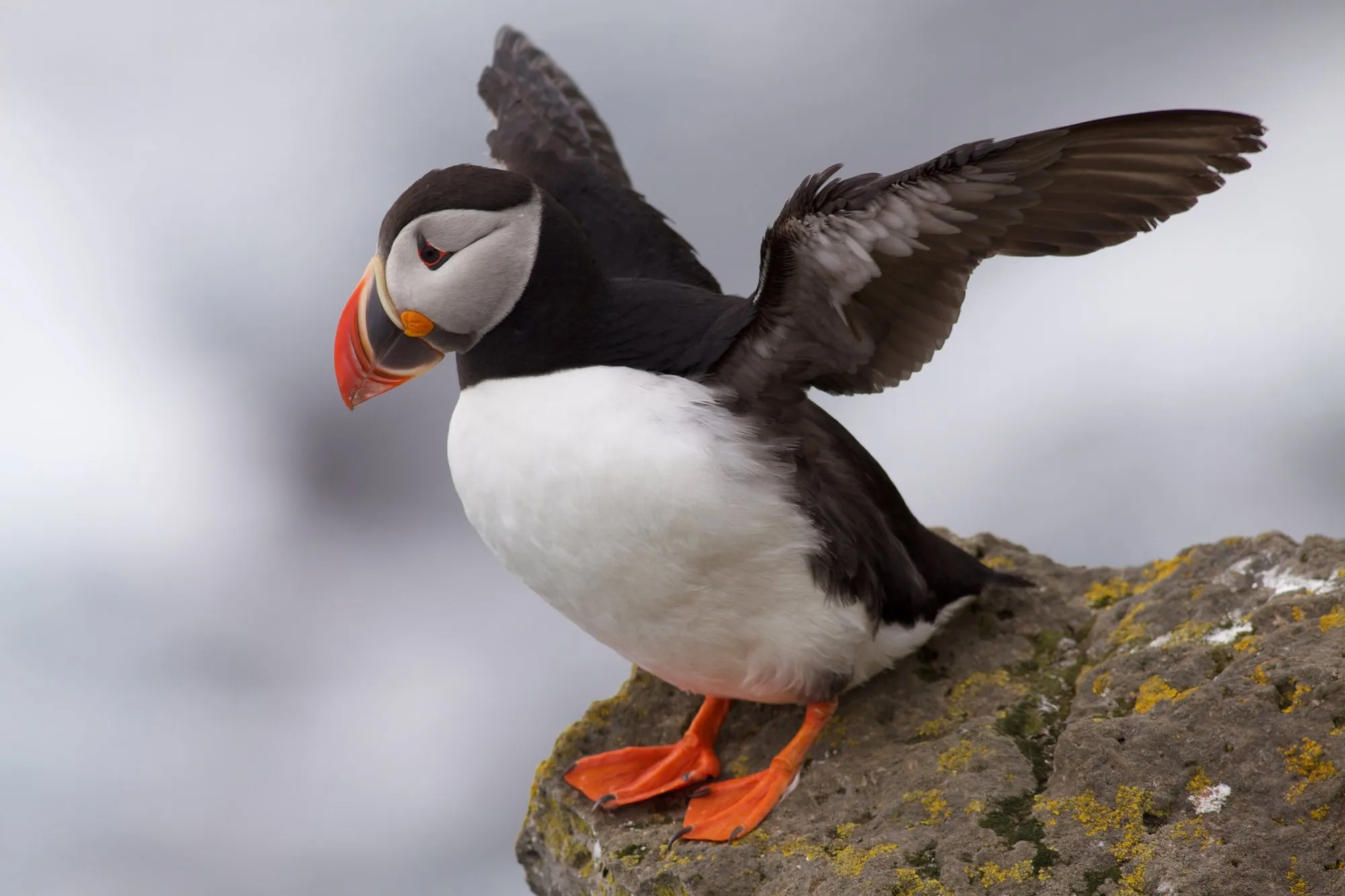
- Látrabjarg: the longest bird cliff in the North Atlantic, at Iceland’s westernmost point. In summer, puffins nest along the cliff edge. It’s 60 km from Patreksfjörður, the last stretch on gravel. Stay well back from the edge: it’s undercut and crumbling, with few or no fences.
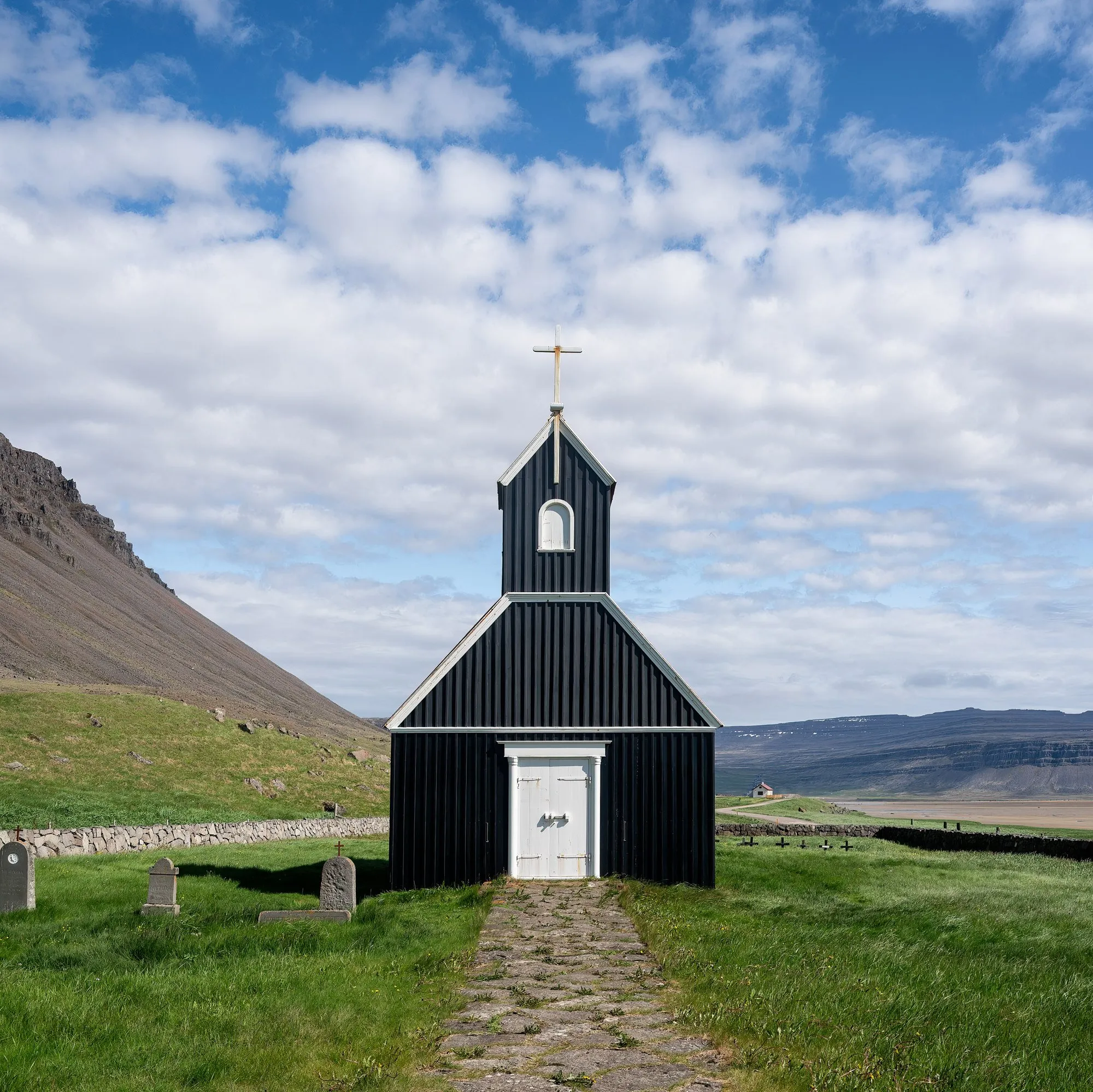
- Rauðisandur: a vast beach of red-gold sand, reached by a steep, narrow gravel road with hairpins. There’s a little black church near the bottom.
- Hornstrandir: the roadless, uninhabited far north of the region, a nature reserve where Arctic foxes live at the highest density anywhere. Reach it by boat from Ísafjörður or Bolungarvík in summer, and hike it with proper gear.
- Geothermal pools: small natural hot pools are dotted around the region; ask locally which are open to visitors.
Ferries
The Baldur car ferry crosses Breiðafjörður between Stykkishólmur (on the Snæfellsnes peninsula) and Brjánslækur, near Flókalundur. It saves a long drive and makes a good one-way entry or exit. Book ahead for a car in summer.
When to go
June to early September. In summer you get long days, puffins at Látrabjarg, boats to Hornstrandir and every road open. Outside summer, snow and ice close some mountain roads for months, and weather can shut others at short notice. Check the official road-conditions site (umferdin.is) every morning, at any time of year.
Driving tips
- Fuel is available in the main villages, but stations are far apart on the south coast. Fill up whenever you can.
- Single-lane bridges and tunnels are common: the car closest to the bridge or the passing place has priority.
- Gravel roads: slow down where the asphalt ends. Loose gravel at speed is a common cause of accidents for visitors.
- Off-road driving is illegal in Iceland, and heavily fined.
Every leg
Measured with OpenStreetMap routing (OSRM) on 12 October 2026. Times are estimates; gravel passes and fjord roads are slow.
| Leg | Distance | Driving | From start |
|---|---|---|---|
| Búðardalur→Hólmavík | 79 km | 1 h 06 | 79 km |
| Hólmavík→Ísafjörður | 223 km | 3 h 12 | 302 km |
| Ísafjörður→Þingeyri | 49 km | 48 min | 351 km |
| Þingeyri→Dynjandi | 28 km | 30 min | 379 km |
| Dynjandi→Bíldudalur | 60 km | 1 h 00 | 439 km |
| Bíldudalur→Patreksfjörður | 31 km | 30 min | 470 km |
| Patreksfjörður→Flókalundur | 62 km | 54 min | 532 km |
| Flókalundur→Reykhólar | 127 km | 1 h 48 | 659 km |
| Reykhólar→Búðardalur | 75 km | 1 h 06 | 734 km |
| Total | 734 km | 10 h 54 |
Free stops on this route
Places that cost nothing to visit. Rules for staying overnight are in the guide above.
- Free stop
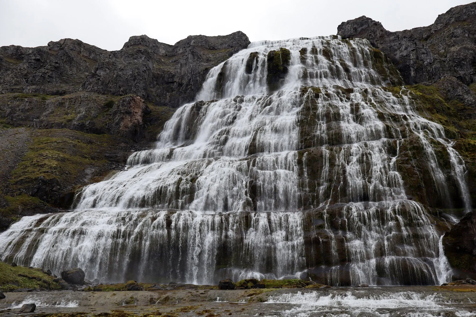
Dynjandi
The Westfjords' great waterfall. Short walk up.
- Free stop
Látrabjarg
Bird cliffs at Iceland's westernmost point. 60 km from Patreksfjörður.
- Free stop
Rauðisandur
Long beach of reddish sand, down a steep gravel road.
Along the way
Sources
We last checked this guide on 12 Oct 2026. Roads, fees and rules change. If something is out of date, tell us at support@nexaround.com.